hello:
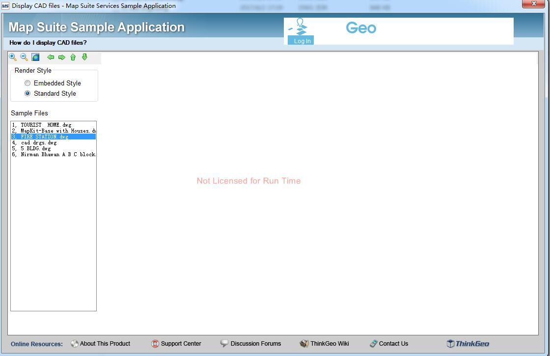
Does Map Suite10.0 support opening DWG files?
We understand that the version of Map Suite 7.0 has to
open the dwg file demo, but now the latest version is already 10.0, and
the latest version of the test did not find the process to open dwg DEMO
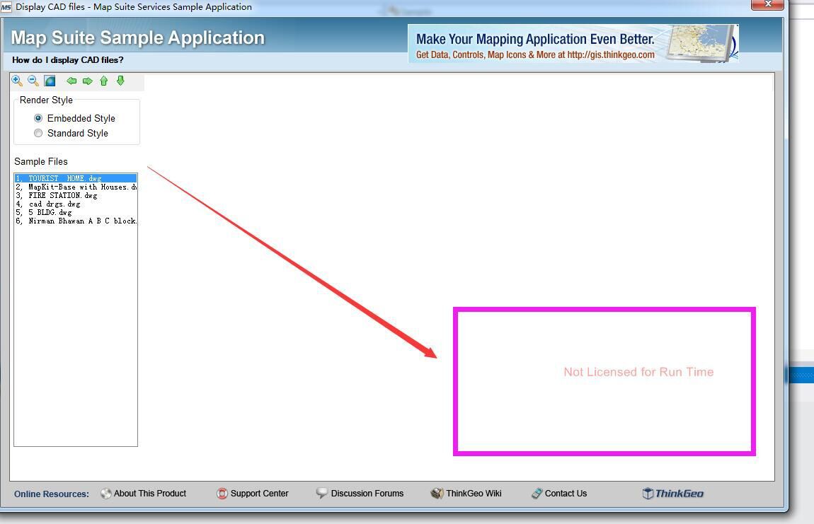
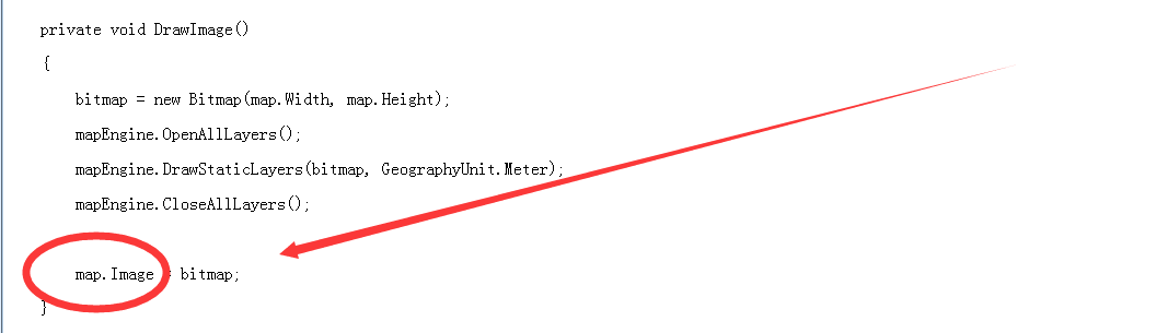
The following figure is a new version of the sample code, there is a
layer to open the DWG file, but not show, before Map Suite 7.0 some
display method is now canceled, do not know what Map Suite10.0 display
method, did not find DEMO

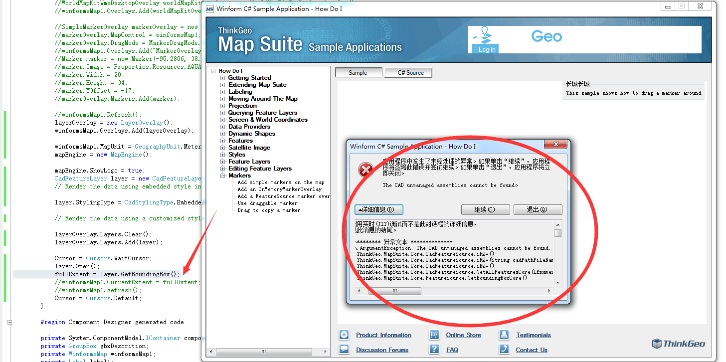
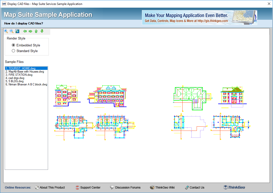
The following figure is Map Suite 7.0 DEMO, there are
Image properties, the new version of Map Suite10.0 no Image property, so
even if the layer loaded DWG file, but not displayed.
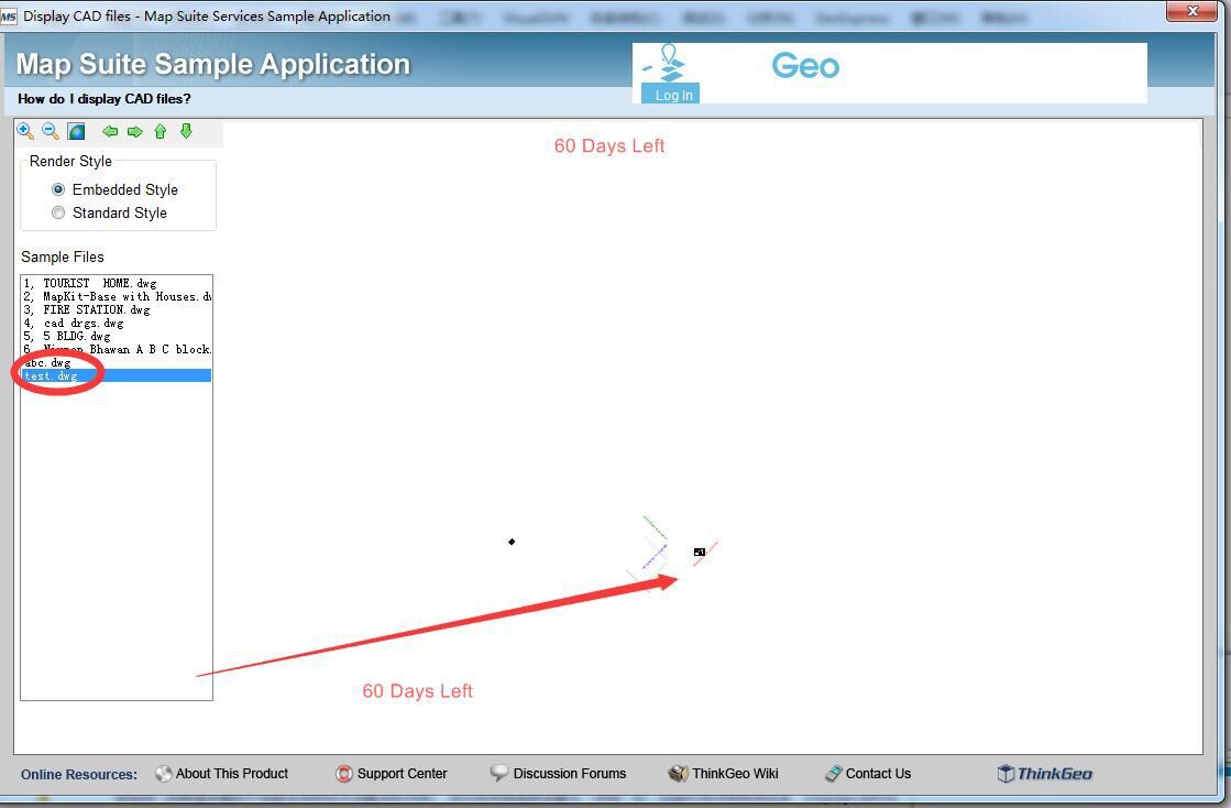
1, hope to provide Map Suite10.0 open and display dwg file DEMO
2, if Map Suite10.0 does not support open DWG file, hoping whether you can buy Map Suite 7.0 version.