
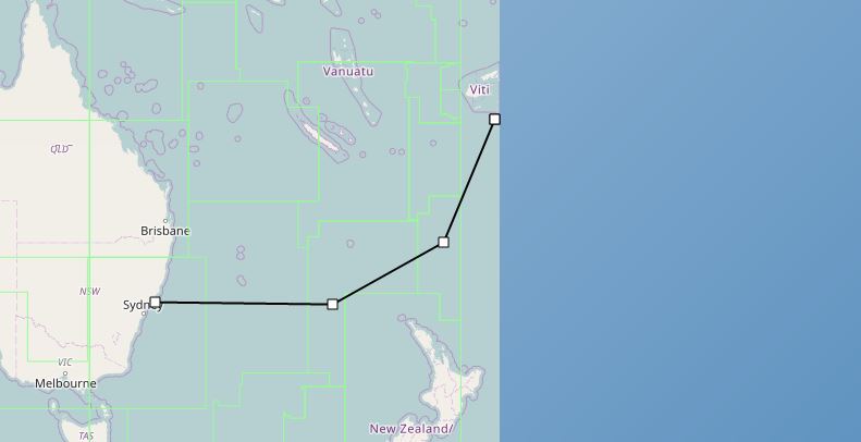
I am working on a windows forms application that users can create routes on map. I am using the OpenStreerMap map layer as the base map with a dynamic layer on top of it. The problem i am facing is the OSM map is not wrapped around the date line, meaning it ends at the dateline and cannot be scrolled continuously. So if i want to draw a line from Australia to USA i cannot go the shortest way.
How can i make the OSM map wrap from the date line? In the web version this can be done it seems like below
var mapnik = new OpenLayers.Layer.OSM.Mapnik(i18n("javascripts.map.base.mapnik"), {
  keyid: "mapnik",
  displayOutsideMaxExtent: true,
  wrapDateLine: true,
  layerCode: "M"
});
Also for the desktop edition of map suite we can do this in other map representations (like shape file maps) by setting the
baseMapLayer.WrappingMode = WrappingMode.WrapDateline;
But i cannot find some similar property for the desktop OSM map classes.
Any help is much appreciated. Thanks is advance.