I’m evaluating Think Geo Desktop, geocoder, and routing. We have an application that currently uses MS MapPoint but have to find something new since it’s being discontinued. So all our desktop applications have to be redone. So I’m a little agitated right now and maybe not thinking clearly.
ALL I want to do is take an address and get the lat and lon for it. I can’t find any straight forward samples for this. Not to mention any instructions on how the geocode extension works. Do I need to download OpenStreet for data (did that for Philadelphia area)?
Lat & Lon From An Address
Hi Steven,
Thanks for choosing Map Suite.
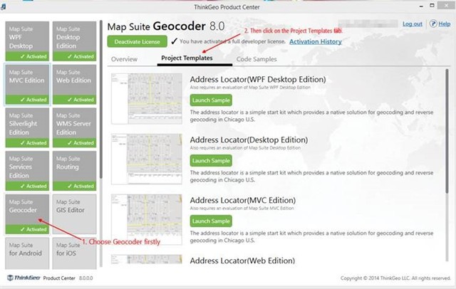
For the geocoder samples, we can find many samples in product center and our wiki online samples, please look at the below image. In the templates sample, we do the geocoding only covering Chicago and we also have a full data source covering the United States. Here is a online website for geocoder on United States and you can have a preview test on. maps.thinkgeo.com/web/
As for the data source, we are not using OpenStreetMap data as those data are not fit for geocoding, we are using the Tiger data as base data and then rebuild them for map suite geocoder edition.
Please feel free to let us know if you have any questions.
Thanks,
Troy