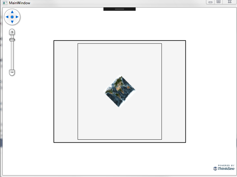
Using MrSid files as a background, we are allowing users to rotate the map. Below is how I set up the projection and apply it to the layers. We are using a MapPrintLayer to hold this and some other layers that have been rotated.
I know the rotation works when applied to the layer and added to a LayerOverlay. It is only when applied to a MapPrintLayer and PrinterInteractiveOverlay that I seem to have the issue.
Given the error message below, can you see what I am doing wrong or what I need to apply in order to allow rotations to work in the printerInteractiveOverlay for MrSid files? All my other layers rotate using the same rotation below.
If you have a sample rotation of a Mr Sid file in a PrinterInteractiveOverlay I would like to get a copy so I can see how it compares to what I am trying.
projection = new RotationProjection(angle);
projection.Open();
projection.PivotCenter = _map.CurrentExtent.GetCenterPoint();
projection.SourceUnit = GeographyUnit.Meter;
RasterLayer rasterLayer = (RasterLayer)lyr;
projection.PivotCenter = _mapkitMap.CurrentExtent.GetCenterPoint();
rasterLayer.ImageSource.Projection = projection;
lyr.Close();
mapPrinterLayer.Layers.Add(lyr);
{“Do not support KeyColor in the specify GeoCanvas.”}
at ThinkGeo.MapSuite.Drawing.GeoCanvas.get_KeyColors()
at ThinkGeo.MapSuite.Layers.Layer.cyU=(GeoCanvas canvas, Collection1 labelsInAllLayers) at ThinkGeo.MapSuite.Layers.Layer.Draw(GeoCanvas canvas, Collection1 labelsInAllLayers)
at ThinkGeo.MapSuite.Layers.MapPrinterLayer.Oho=(SU4= pageGeoCanvas, GeographyUnit unit, RectangleShape adjustedWorldExtent, Collection1 labelsInAllLayers, Double width, Double height) at ThinkGeo.MapSuite.Layers.MapPrinterLayer.DrawCore(GeoCanvas canvas, Collection1 labelsInAllLayers)
at ThinkGeo.MapSuite.Layers.Layer.cyU=(GeoCanvas canvas, Collection1 labelsInAllLayers) at ThinkGeo.MapSuite.Layers.Layer.Draw(GeoCanvas canvas, Collection1 labelsInAllLayers)
at ThinkGeo.MapSuite.Wpf.PrinterInteractiveOverlay.DrawTileCore(GeoCanvas geoCanvas)
at ThinkGeo.MapSuite.Wpf.InteractiveOverlay.b__82_0(GeoCanvas geoCanvas)
at nFQ=.glY=.BBU=(MapArguments mapArguments, Action1 drawCoreAction) at ThinkGeo.MapSuite.Wpf.InteractiveOverlay.IzY=(LayerTile layerTile) at ThinkGeo.MapSuite.Wpf.InteractiveOverlay.DrawCore(RectangleShape targetExtent, OverlayRefreshType overlayRefreshType) at ThinkGeo.MapSuite.Wpf.PrinterInteractiveOverlay.DrawCore(RectangleShape targetExtent, OverlayRefreshType overlayRefreshType) at ThinkGeo.MapSuite.Wpf.Overlay.Draw(RectangleShape targetExtent, OverlayRefreshType refreshType) at ThinkGeo.MapSuite.Wpf.WpfMap.IlM=(Overlay overlay, RectangleShape targetExtent, OverlayRefreshType overlayRefreshType, TimeSpan bufferTime, RequestDrawingBufferTimeType bufferTimeType) at ThinkGeo.MapSuite.Wpf.WpfMap.5BU=(IEnumerable1 drawingOverlays, RectangleShape targetExtent, OverlayRefreshType refreshType, TimeSpan bufferTime, RequestDrawingBufferTimeType bufferTimeType)
at ThinkGeo.MapSuite.Wpf.WpfMap.5BU=(RectangleShape targetExtent, OverlayRefreshType refreshType)
at ThinkGeo.MapSuite.Wpf.WpfMap.DrawCore(RectangleShape targetExtent, OverlayRefreshType overlayRefreshType)
at ThinkGeo.MapSuite.Wpf.WpfMap.Refresh()