hi Ethan,
Thanks for your response.
I wanted to be sure to let you know that these issues are intermittent. Most of the time the imagery is displayed correctly. I never once encountered these issues while testing in development. They surfaced intermittently after live deployment.
Concerning your suggested changes:
-
In what namespace are ScaleSnapMode property and ScaleSnapMode enumeration located? I am using WmsServerEdition V9.0.0.1103 and do not see these in any namespace. Also, in what GetMapCore override should this instruction be placed? In the Handler or in the PlugIn?
-
Indeed the ZoomLevel01 Scale that we use is 147647947. But again, this is an intermittent issue so not sure how populating TileMatrix will make a difference. However, I will make this change. There are other properties in TileMatrix such as TileHeight, TileWidth, BoundingBox, CellHeight, CellWidth. What are your recommended values for these properties?
I added the following line to the application. There is no difference that I noticed. The same cached tiles are created and the map extent renders the same, correctly.
TheTileCache.TileMatrix = new MapSuiteTileMatrix(147647947);
One thing nearmap pointed out to me is that when there is no tile caching the tile request size to them is always 1050x1600. However, with caching the tile size requests are all of varying values, such as 1024x1536, 768x1536, 768x1280, 512x1536, and other combinations. Why do these values vary?
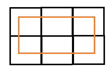
What is the design consideration of having cached tile sizes all 256x256 pixels?
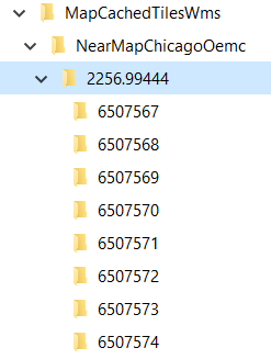
3-Without tile caching we have noticed on rare occasions where there might be a section of a given map extent where the imagery is not rendered, but never appears black. Only black when caching is enabled. I have already developed a service to delete tiles that have exceeded their ExpirationTime plus a few hours, so I could modify that to also delete tiles less than a certain size.
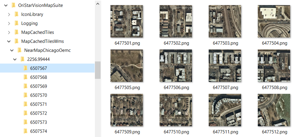
Did you determine why in the above imagery examples there are tiles that are repeating? And why are tiles zoomed so far out when they should not be? Again, remember that this does not happen on all tiles. Most of the tiles are correct.
Your thoughts are always appreciated.
Thanks,
Dennis