ThinkGeo.com    |     Documentation    |     Premium Support

Blurry geotif for different projection

Hi,
I added raster layer to my project. Everything looks fine when I’m using DecimaDegree as map units and external projection is set to Wgs84 (4326). When I change units to meters and projection to google (3857), my raster layer looks blurry. It looks lie it is little bit up-scaled.
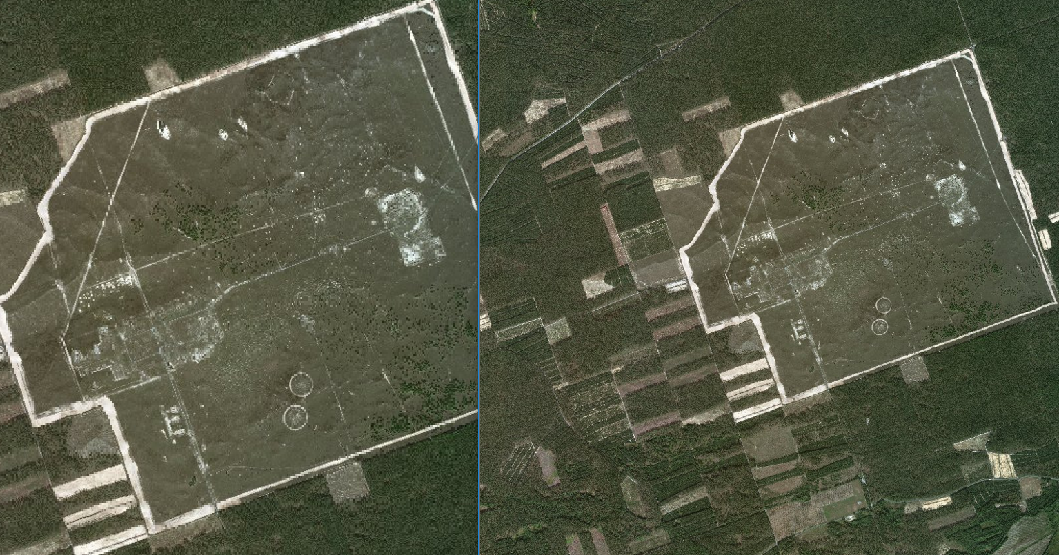
I have two geotifs of the same area. One is in 4326 projection and second in 3857.

This is comparison of the same file in my program and in imageviewer for projection 3857

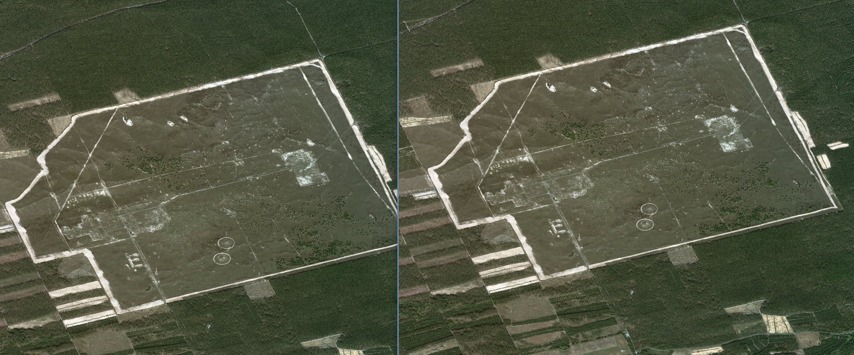
On the other hand for projection 4326 both programs shows image in the same scale

Is there anything that I need to set for 3857 projection to show map in correct scale?

Thank you in advance for your help

Regards Martin

Hi Martin,

I think that’s related with how your set the current extent in our map.

I guess you are using layer.GetBoundingBox() to set current extent, please call this after you assign projection to layer. Or you can get bouding box for 4326, and then convert this bouding box to 3857 to see whether it can make image render on correct position.

Please check your code about this part.

If it still cannot be solved, please build a simple sample with your data, and you can upload it here if small or share by network disk for example google drive if size is big.

Here is a guide about how to quickly create a sample for our V10,
http://wiki.thinkgeo.com/wiki/map_suite_project_template_guide

Wish that’s helpful.

Regards,

Ethan