ThinkGeo.com    |     Documentation    |     Premium Support

Google satellite image in 3D format

Dear all,

I have a requirement that need to display data on map in 3D format on Google map. Example shown below.

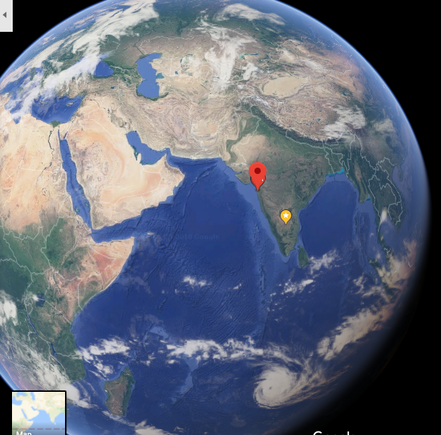
I wanted to display features on top of this and able to rotate it like 3D view. Please let me know is this possible or if any sample code and suggestions,

Thank you,
Ashok

Hi Ashok,

For 3D, we don’t support Google map now.

If you only want a 3D base map, please view our https://maps.thinkgeo.com/

You can select Hybird or Aerial, then select 3D.

It’s also the 3D map sample, because you can directly view its JavaScript code.

Wish that’s helpful.

Regards,

Ethan