
Dear @Ethan,
I am getting map display problem when I zoom out my map and using Lambert projection in Thinkgeo Desktop edition.
My internal and external projections are follows
Internal - +proj=longlat +ellps=WGS84 +datum=WGS84 +no_defs
External - +proj=lcc +lat_1=15 +lat_2=55 +lat_0=40 +lon_0=108 +x_0=0 +y_0=0 +ellps=WGS84 +datum=WGS84 +units=m +no_defs
Actually I am using different projections based on place on map to show Flight Route.
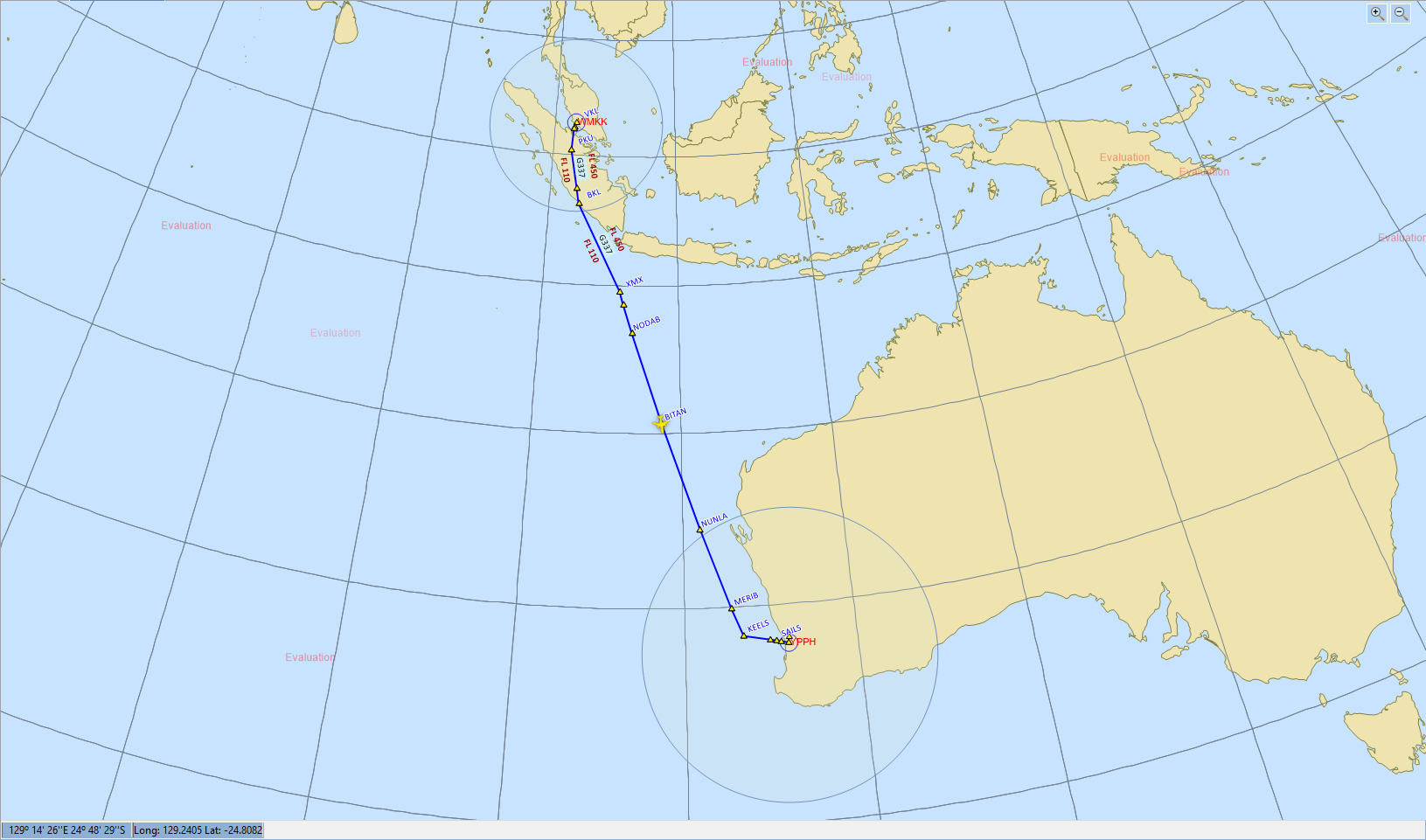
But by default at some zoom level I am getting correct display, but after zooming out map not displaying correctly. Please check following snapshots
Correct one
Wrong one

Please check the issue and give me solution for this.
Thanks,
Ashok
