Bob,
As GoogleMap uses a different projection than DecimalDegree, we need to convert the projection first before we draw the marker on GoogleMap. The codes below shows how to add one specific marker, also please see the sample Markers ->AddProjectedMarkers if you want to add markers from a shape file on GoogleMap,
protected void Page_Load(object sender, EventArgs e)
        {
              if (!Page.IsPostBack)
            {
                Map1.MapBackground.BackgroundBrush = new GeoSolidBrush(GeoColor.FromHtml("#B3C6D4"));
                Map1.CurrentExtent = new RectangleShape(-13939426.6371, 6701997.4056, -7812401.86, 2626987.386962);
                Map1.MapUnit = GeographyUnit.Meter;

                Map1.MapTools.OverlaySwitcher.Enabled = true;
                Map1.MapTools.MouseCoordinate.Enabled = true;

                // Setup my Marker Overlay
                InMemoryMarkerOverlay markerOverlay = new InMemoryMarkerOverlay();
                markerOverlay.ZoomLevelSet.ZoomLevel01.DefaultMarkerStyle.WebImage = new WebImage("../../theme/default/samplepic/circle.png");
                markerOverlay.ZoomLevelSet.ZoomLevel01.ApplyUntilZoomLevel = ApplyUntilZoomLevel.Level20;

                // Set the correct projection (Decimal Degrees to Google’s)
                Proj4Projection proj4 = new Proj4Projection(Proj4Projection.GetEpsgParametersString(4326), Proj4Projection.GetGoogleMapParametersString());
                markerOverlay.FeatureSource.Projection = proj4;

                // Start adding my decimal degree points
                markerOverlay.Features.Add("LawrenceKansas", new Feature(-95.253199, 38.959902));

                GoogleOverlay google = new GoogleOverlay("Google Map");
                google.JavaScriptLibraryUri = new Uri("maps.google.com/maps?file=api&v=2&key=ABQIAAAAoxK_HcqphMsnUQHEwLwHlRSavkNJi0NVTgm4UDidoiIU5dUJpRQW88FufPCp0aTPraxZgZFAIUHn3Q");
                google.GoogleMapType = GoogleMapType.Normal;

                Map1.CustomOverlays.Add(google);
                Map1.CustomOverlays.Add(markerOverlay);
            }
        }
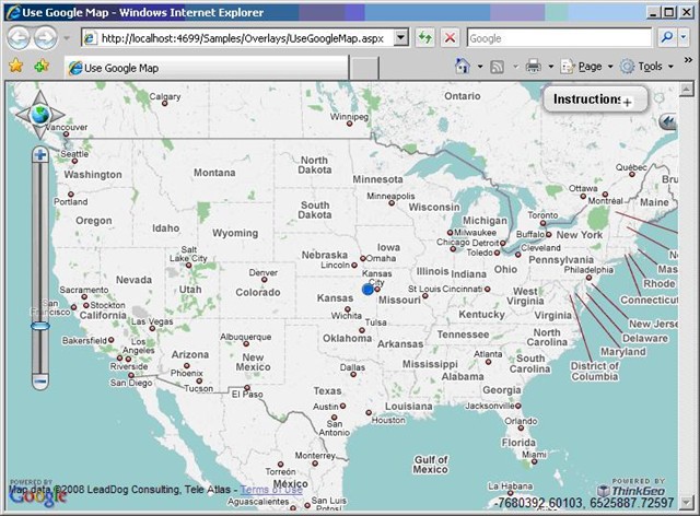
Here is the result:
Ben.

