Hello , i’ve made a function that focus into a certain rectangle of the map with CurrentExtent:
Public Sub MyCurrentExtent()
wpfMap.CurrentExtent = New ThinkGeo.MapSuite.Shapes.RectangleShape(2018042.17380401, 5134294.601809, 3717141.987822, 4273310.06864)
wpfMap.Refresh()
End Sub
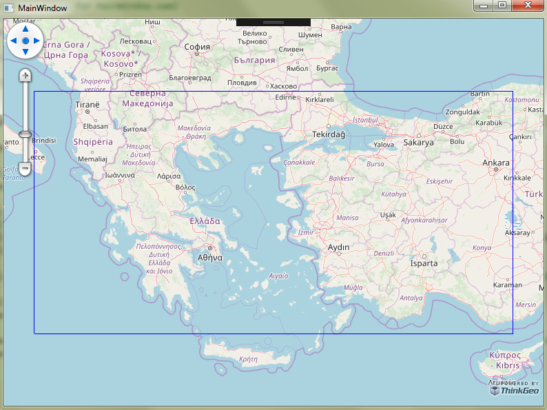
and i have a problem,when i assign that fuction to a button it works alright and focus my program over the place i gave like the picture:

but when i put the function in the start of the program to focus there in initialization instead of the center of the world (0,0) it focus on a different place like this:
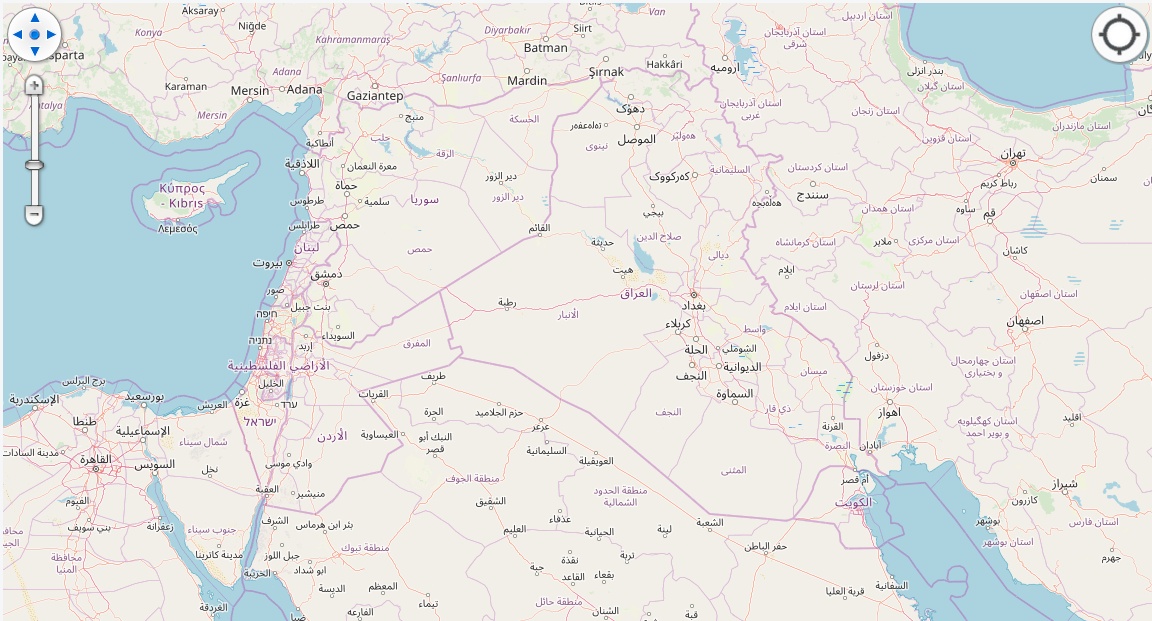
it focuses on bigger longitude and smaller lattitude,does anyone knows what’s happening? It’s the same function in both cases.
Thanks!