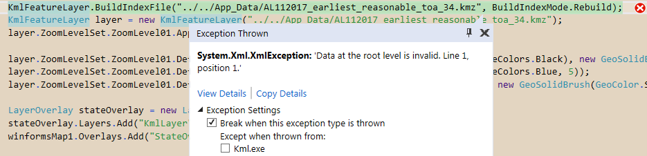
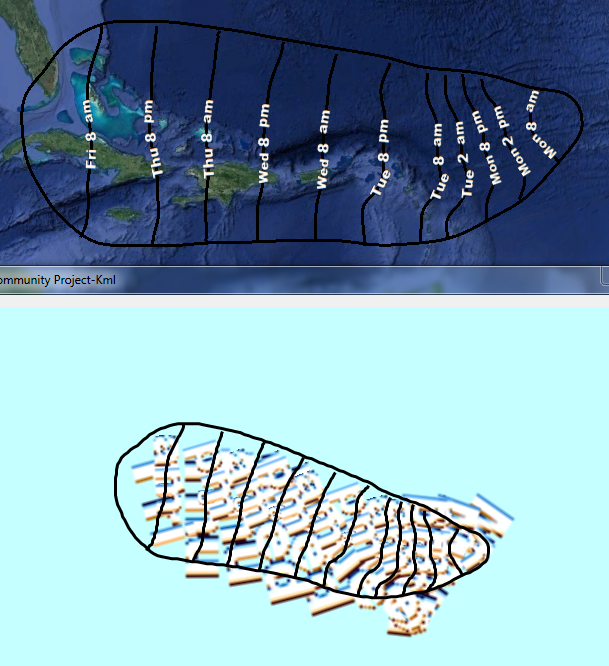
I am testing out a KML file that includes some .png images. The lines described in the data are showing up correctly, but the png files, witch are the day/time labels, are wildly off. If I open the KML file in Google Earth, they scale correctly. How can I get them doing the same?
The KMZ is like a zipped KML file. Open the file with something like 7-Zip. The KML file and the folder with the .PNG files are inside it. The ‘labels’ folder needs to be in the same directory as the KML file.
Looking at the text of the KML file, for the .PNG images, there are two properties, scale and heading, that should size and place the images properly. It looks like the ThinkGeo layers are not interacting with those properties.
I asked our developer about the status, and the update is it’s a complex task, we maybe cannot enhancement it to support the image well just like GoogleEarth in near future.