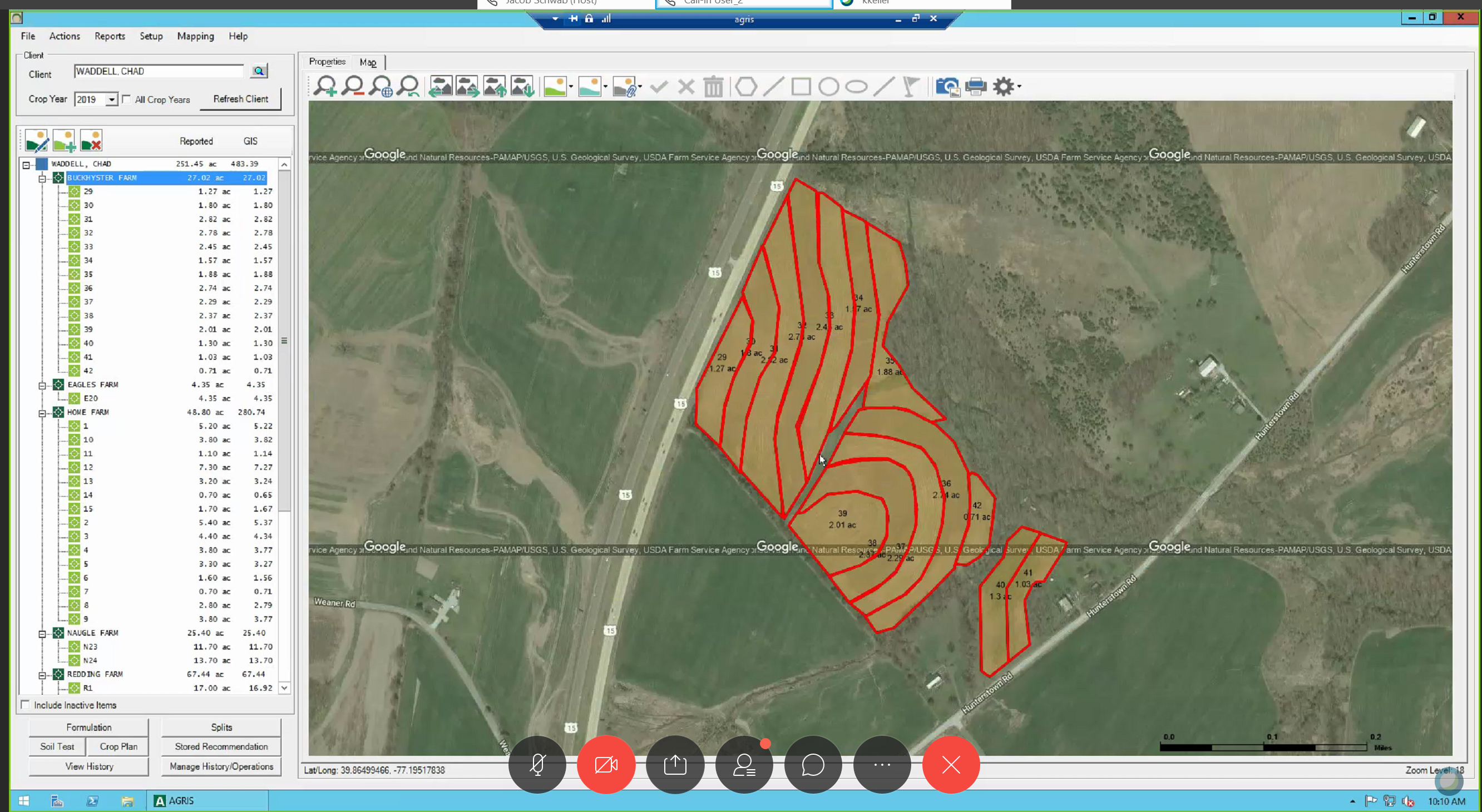
I want to improve the readability of mapped agricultural fields and crop zones. Currently the mapped boundaries and label information are loaded in a feature contained in an InMemoryFeatureLayer. Depending on the zoom level, field and crop zones labels, area name and size, do not fit inside the mapped area or text is unreadable (see uploaded image).
To improve readability, I want to:
- By default display the label information within the mapped area (boundaries)
- Allow the user to drag the label information outside of the boundaries, but draw a line from the label to boundary (maybe center point).
- Retain the new label position so when the mapped image is re-displayed, the label will appear in the new position
- Readjust label position or connecting line when boundaries are changed
- Delete label when boundaries are deleted.
Please advise as to feasibility of requirements above. If valid approach , is there sample code? I welcome other recommendations to solve the readability issue.
Thank You,
Rudolph