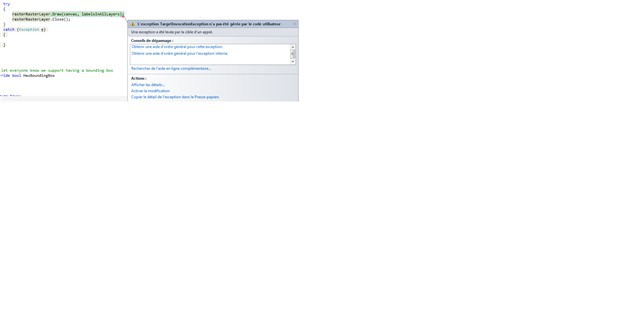
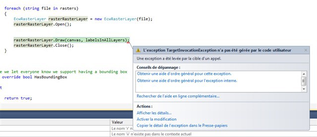
Now with the dll 6.0 I have an error when I zoom in or zoom out (ie. Raster RasterError.png + RasterError_20120926.txt) When I used the dll 5.5, I did not have this kind of problem. Have you met already this problem ?
For display the raster, I user the class MultiGeoRasterLayer.cs and the code is :
What version are you using? The SqlTypes was added since 6.0.35.0 and after that we fixed some bugs, maybe there is no exception with the latest version.
I have this error message with version "MapSuiteCore:6.0.0.0;WpfDesktopEdition:6.0.0.0".
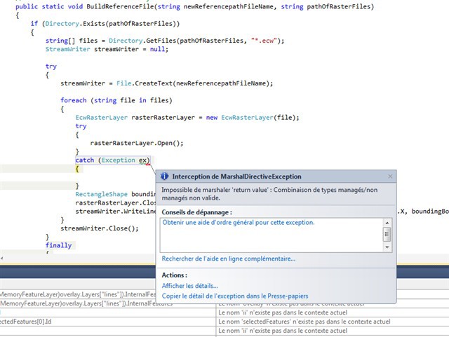
I tested width an another dll ("MapSuiteCore:6.0.112.0;WpfDesktopEdition:6.0.112.0") and I have an other error message (ie rasterErrorWithDll6.0.112.0.png). I have this error with the class MultiGeoRasterLayer.cs.
Interception de System.Runtime.InteropServices.MarshalDirectiveException
Message=Impossible de marshaler 'return value' : Combinaison de types managés/non managés non valide.
Source=mscorlib
StackTrace:
à System.Runtime.InteropServices.Marshal.GetDelegateForFunctionPointerInternal(IntPtr ptr, Type t)
à System.Runtime.InteropServices.Marshal.GetDelegateForFunctionPointer(IntPtr ptr, Type t)
à iRQ=.jSk=.sik=()
à iRQ=.QDc=.3Rw=()
à iRQ=.1xw=.3Rw=()
à ThinkGeo.MapSuite.Core.EcwRasterSource.lB4=()
à ThinkGeo.MapSuite.Core.EcwRasterSource.OpenCore()
à ThinkGeo.MapSuite.Core.RasterSource.Open()
à ThinkGeo.MapSuite.Core.RasterLayer.OpenCore()
à ThinkGeo.MapSuite.Core.Layer.Open()
à ThinkGeo_1.MultiGeoRasterLayerECW.BuildReferenceFile(String newReferencepathFileName, String pathOfRasterFiles) dans C:\Steph_WPFCarto\TestApp\ThinkGeo_1_20120905_Dll60112\ThinkGeo_1\ThinkGeo_1\MultiGeoRasterLayerECW.cs:ligne 172
I downloaded a new version dll from Daily Production Builds (WpfDesktopEditionFull6.0.0.144DllPackage). "MapSuiteCore:6.0.0.144;WpfDesktopEdition:6.0.0.144" to see if i had the same problem with the new version
I tested and I had the error (ie. RasterErrorNavigation_20121005.PNG ; RasterError_20121005.txt) What I did I pan ; Zoom + ; zoom - ; pan ; zoom + etc .. and finally I had the error.
Can you try loading a single ECW file using the EcwRasterLayer, rather than the MultiGeoRasterLayerECW? This will test if this is an issue specific to the MultiGeoRasterLayerECW.
I noticed that you are using the French language. Can you change your Language to ‘English (United States)’? The reason I ask is that sometimes if the Decimal Seperator is set to ‘,’ (comma) rather than ‘.’ (period) exceptions can occur when accessing files with special values such as those required by an ECW’s world file. The World File is that extra file with an extension of .eww that helps Map Suite locate where the ECW file should be rendered on the map.
If you change your Language to 'English (United States) and the issue is not resolved we should try to get a sample of your ECW file. Reply back with your findings on the decimal seperator and if necessary I can setup an FTP upload for you.