@Ben
Attached is a better PDF to work on, something I found from the internetz if I remember correctly.
Here’s how it looks in QGIS 3.18.3 Zürich when opened as vector and as raster on top of WMS service.
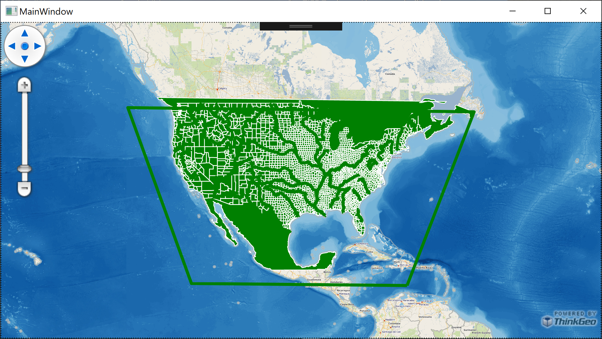
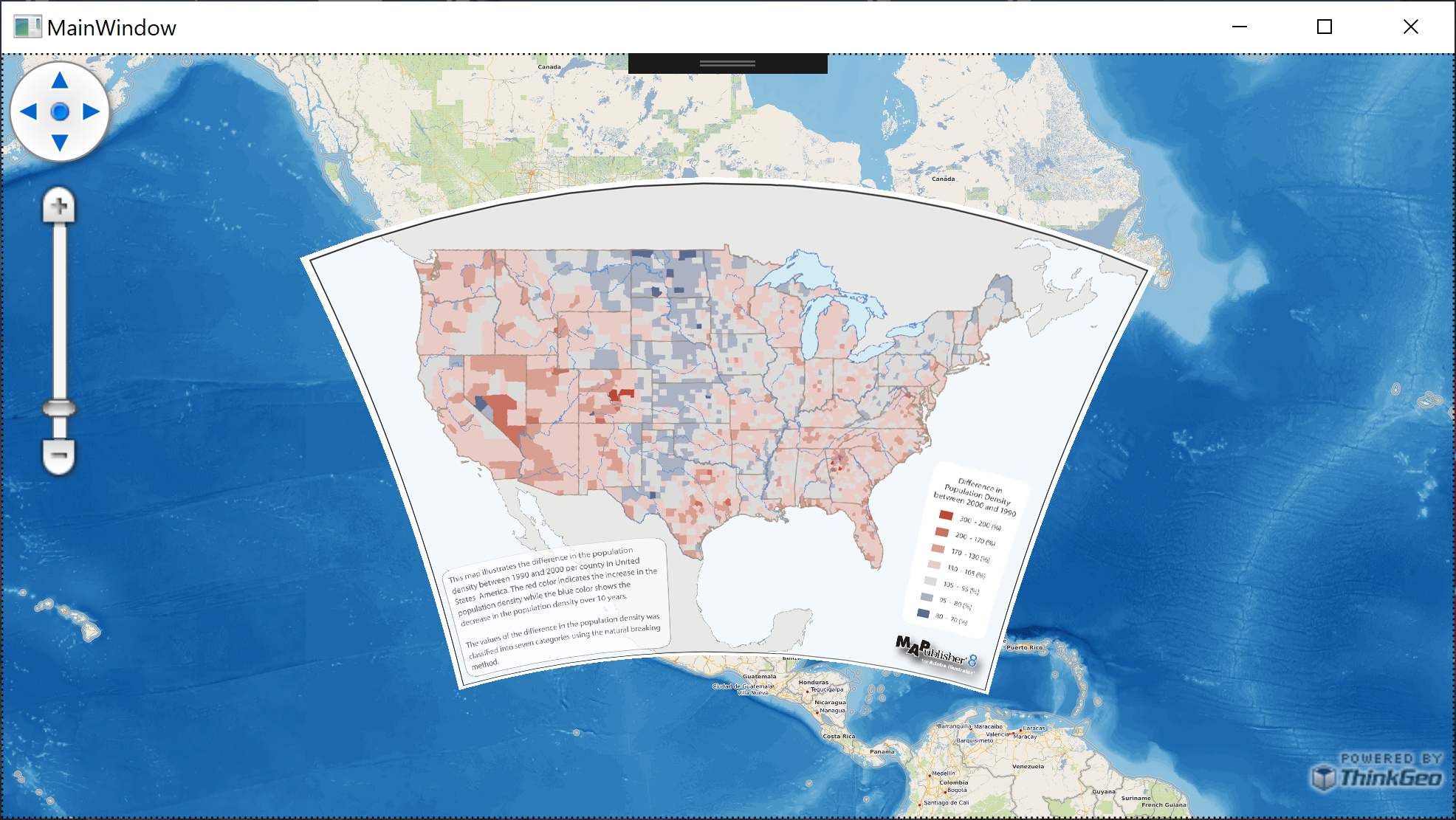
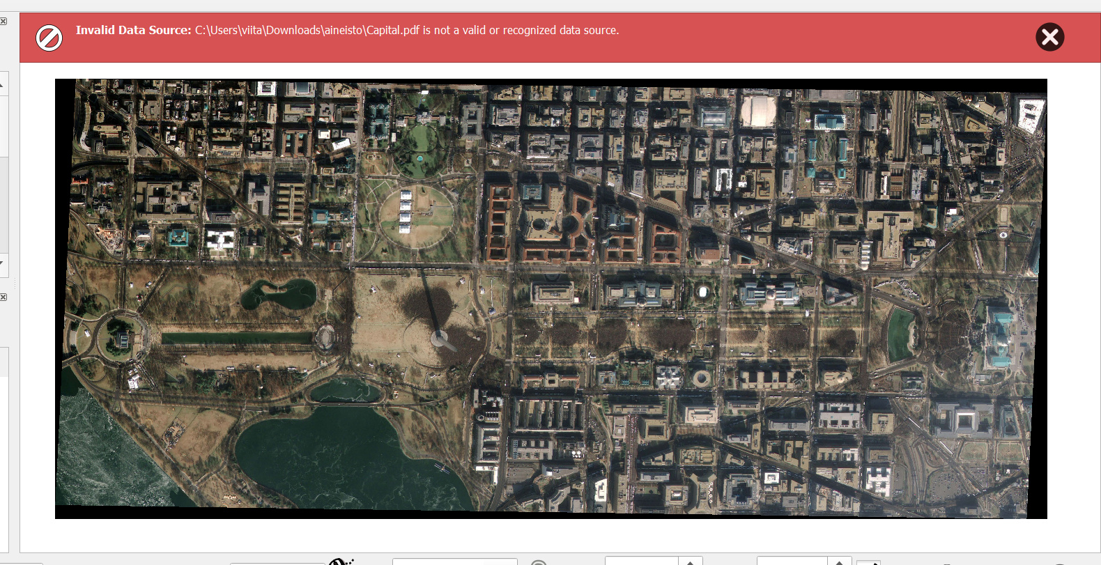
Then that same file opened using latest ThinkGeo beta, again on top of some WMS service. The latter image shows the said GeoPDF after it has been transformed into TIF file using gdal_translate.exe from OSGeo4W64.
Conversion used here is
from
"+proj=aea +lat_1=20 +lat_2=60 +lat_0=40 +lon_0=-96 +x_0=0 +y_0=0 +datum=NAD83 +units=m +no_defs"
to
"+proj=merc +a=6378137 +b=6378137 +lat_ts=0.0 +lon_0=0.0 +x_0=0.0 +y_0=0 +k=1.0 +units=m +nadgrids=@null +wktext +no_defs"
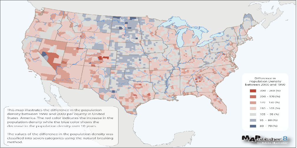
Here’s the file itself, zipped because of size limitation.
US_County_Populations.zip (2.5 MB)
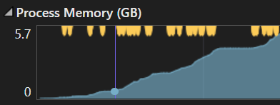
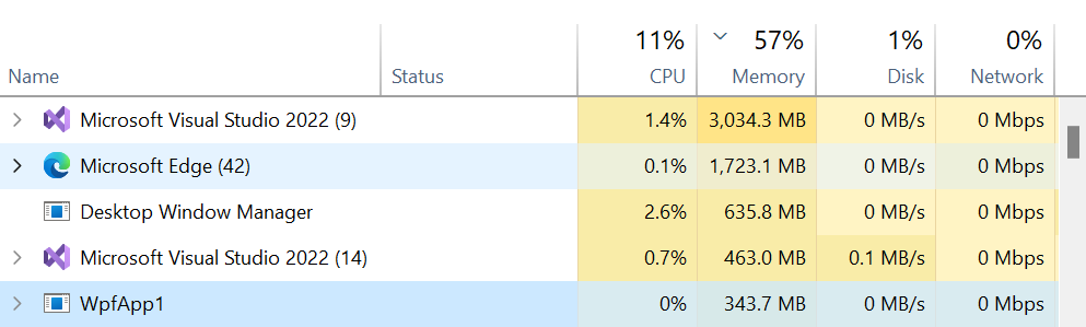
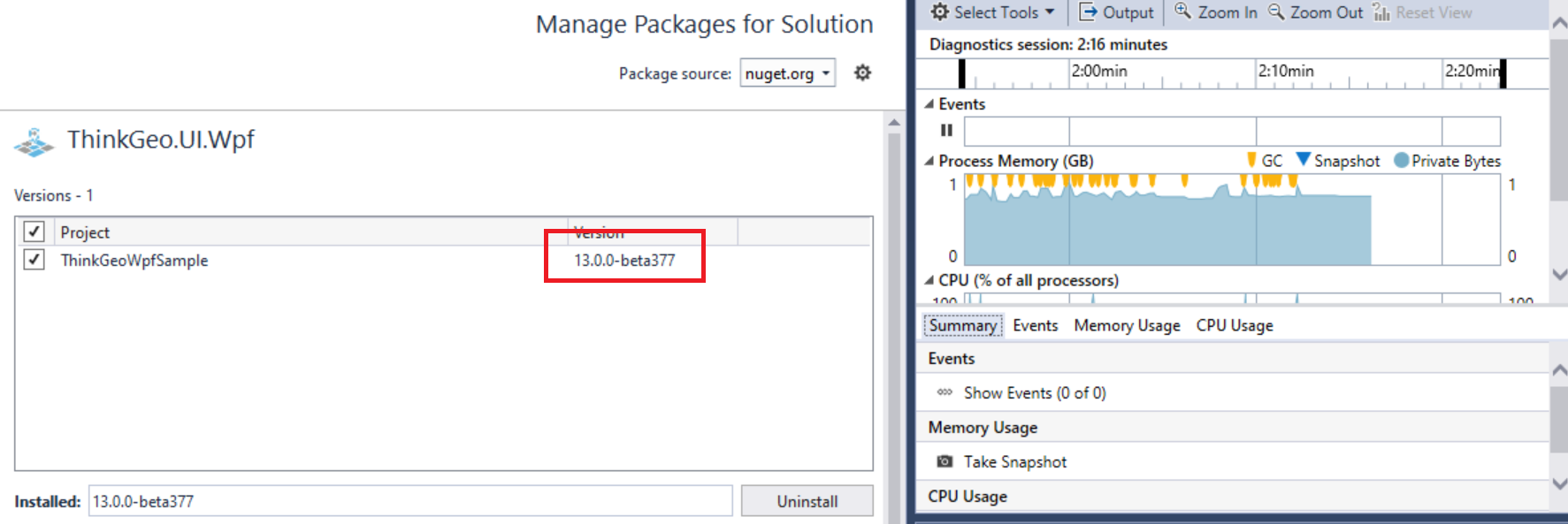
And then the memory usage thing. Here’s example code using the latest binaries (WPF, .NET Framework 4.8).
If I only add an OpenStreetMapOverlay to the map and pan around, memory usage is around 100Mb…200Mb quite consistently, sometimes spiking to 300Mb for short periods of time.
mapView.MapUnit = GeographyUnit.Meter;
var osmOverlay = new OpenStreetMapOverlay();
mapView.Overlays.Add(osmOverlay);
mapView.Refresh();
If I add ten empty overlays and pan around, I easily hit 1.0Gb…1.2Gb, spiking up to 2Gb in memory usage.
mapView.MapUnit = GeographyUnit.Meter;
var osmOverlay = new OpenStreetMapOverlay();
mapView.Overlays.Add(osmOverlay);

for (int index = 0; index < 10; index++)
{
    var layer = new InMemoryFeatureLayer();
    var overlay = new LayerOverlay(new List<Layer> { layer });
    mapView.Overlays.Add(overlay);
}

mapView.Refresh();

 and thanks again for your support.
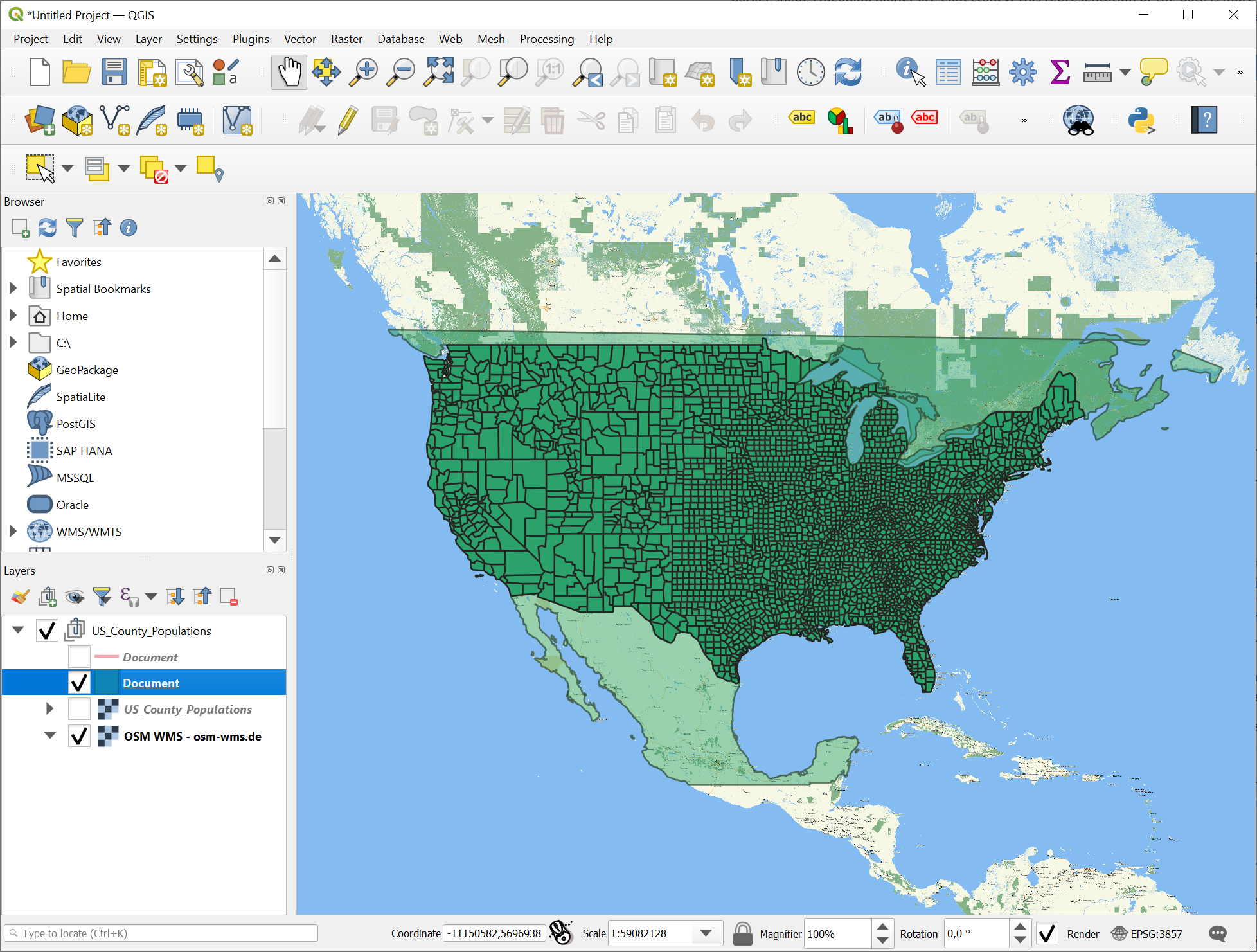


 or… ?
or… ?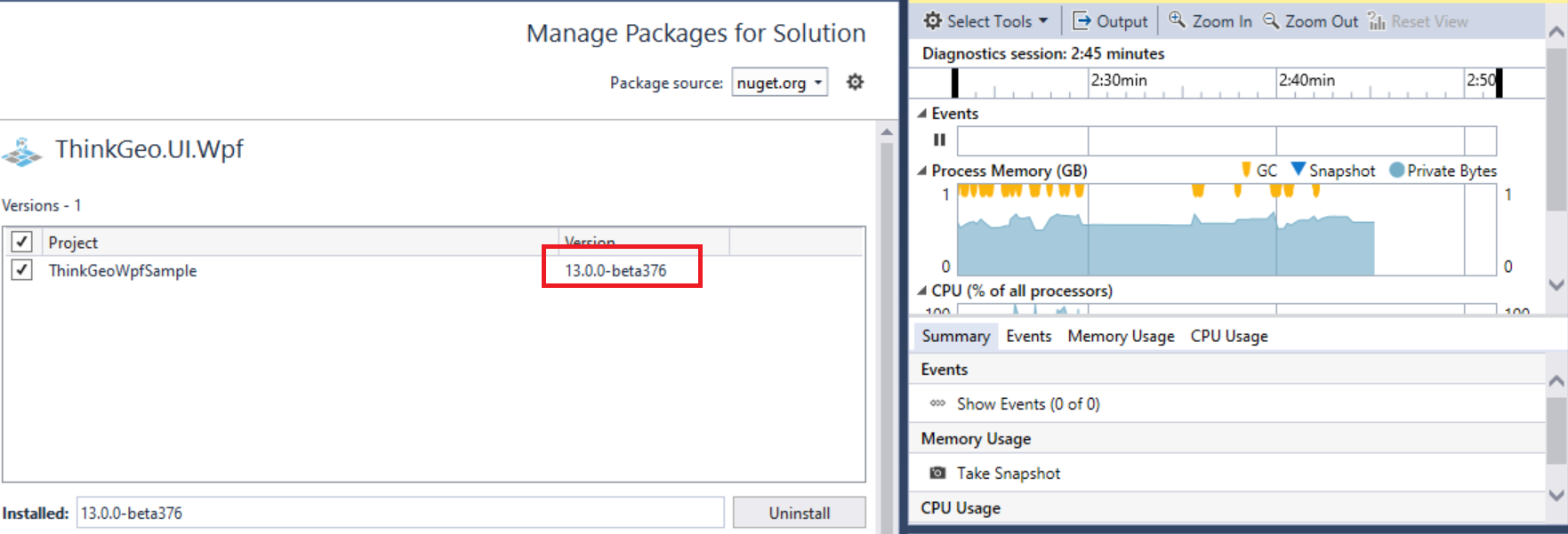
 Congratulations! and let me know if you have more issues.