
Hi @Ethan, I’m facing a issue. when I’m converting ESRI:54004 to EPSG:4326 longitude value is not converting in wrap mode, it’s stuck at 180.
But with UnmanagedProj4Projection it’s working correctly.
Proj4Projection is not converting correctly
Hi Bibek,
If with UnmanagedProj4Projection it works well, you can just refer that, which means this package is necessary for your scenario.
Regards,
Ethan
At this stage we can’t change all the references and panning and zooming is slow in unmanageProj4Projection so , is it possible to fix current Pro4Projection Library ?
Hi Bibek,
The slow should because the computation is bigger for this scenario.
And I think you should want to upload a sample, our developer can look into it and see whether we can make Pro4Projection works for your scenario.
Regards,
Ethan
Hi Bibek,
Thanks for your sample, we tested your project, but it looks we hadn’t watched the problem you mentioned.
The speed looks the same and it works just the same when we installed the “ThinkGeo.MapSuite.Shapes.UnmanagedProj4Projection” + “MapSuiteDependency-UnmanagedProj4Projection” or not in your sample.
Do we missed any point?
Regards,
Ethan
Actually the performance of Proj4Projection is better than UnmanagedProj4Projection in our case when the overlay no. is more than 20.
Can you just check wrap click for Proj4Projection in the sample ?
Hi Bibek,
I think you should want to let us know the steps to reproduce your issue and let us know how it should looks like.
We click on the map, it render a red point and I don’t know where is the exception.
Regards,
Ethan
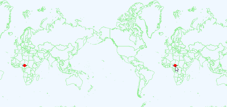
hi @Ethan, Sorry for late reply . In the sample if you click on the circle in default map the line is coming but when clicking on circle in wrapped section the line is not coming because the point is not converting properly with Proj4Projection.
Hi Bibek,
It looks when we tested it, click on circle it always show/hide the line both in default map and wrapped map.
Please see it:
Regards,
Ethan
Hi Bibek,
It looks we fixed a bug in Proj4Projection in latest version. My test project use older package so it looks works well, today I download your test project again and find the reason.
Please try attached sample, it works well. SampleWebApp.zip (89.5 KB)
Please notice:
-
If you are using Meter, when you try to convert it to decimal degree, any coordinate which out of allowed range X(-180, 180), Y(-90, 90) will only get the limitation value. That means the big X will always 180 after you convert the value of it.
-
You don’t need to convert from Meter to DecimalDegree, you can directly handle the Meter value to make sure the coordinate return default map. Please refer my sample.
Wish that’s helpful.
Regards,
Ethan