Hi Steph,
Our WFS layer won’t display anything on map. It mainly works for query data.
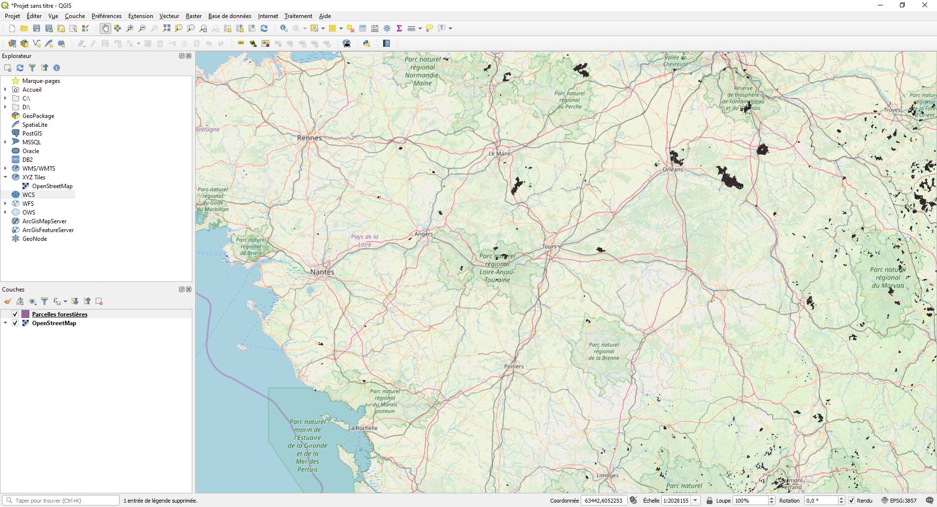
If the server provide tile image it should be a WMS service.
And you should want to try this code to see whether it works:
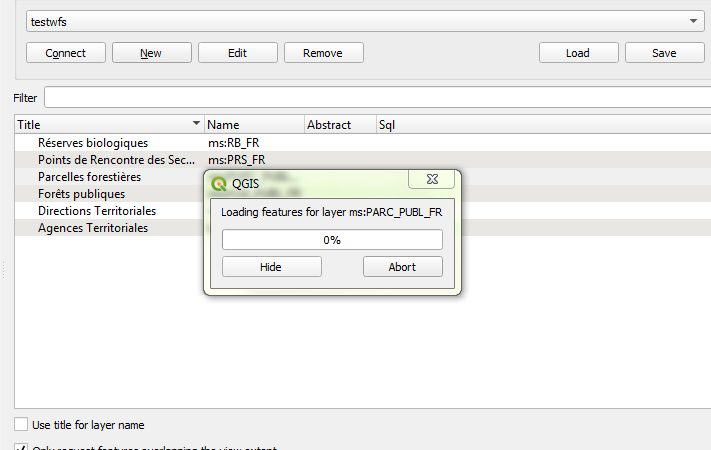
            WfsFeatureLayer wfsFeatureLayer = new WfsFeatureLayer("http://ws.carmencarto.fr/WFS/105/ONF_Forets?SERVICE=WFS&REQUEST=GetCapabilities&ACCEPTVERSIONS=2.0.0,1.1.0,1.0.0", "ms:PARC_PUBL_FR");
        wfsFeatureLayer.Open();
        Collection<Feature> features = wfsFeatureLayer.FeatureSource.GetAllFeatures(ReturningColumnsType.AllColumns);
        InMemoryFeatureLayer inMemoryFeatureLayer = new InMemoryFeatureLayer();
        inMemoryFeatureLayer.ZoomLevelSet.ZoomLevel01.DefaultAreaStyle = AreaStyles.Country1;
        inMemoryFeatureLayer.ZoomLevelSet.ZoomLevel01.ApplyUntilZoomLevel = ApplyUntilZoomLevel.Level20;

        foreach (Feature f in features)
        {
            inMemoryFeatureLayer.InternalFeatures.Add(f);
        }
In my test I just get operation timeout exception, I think that’s because my network to the server is not fast enough.
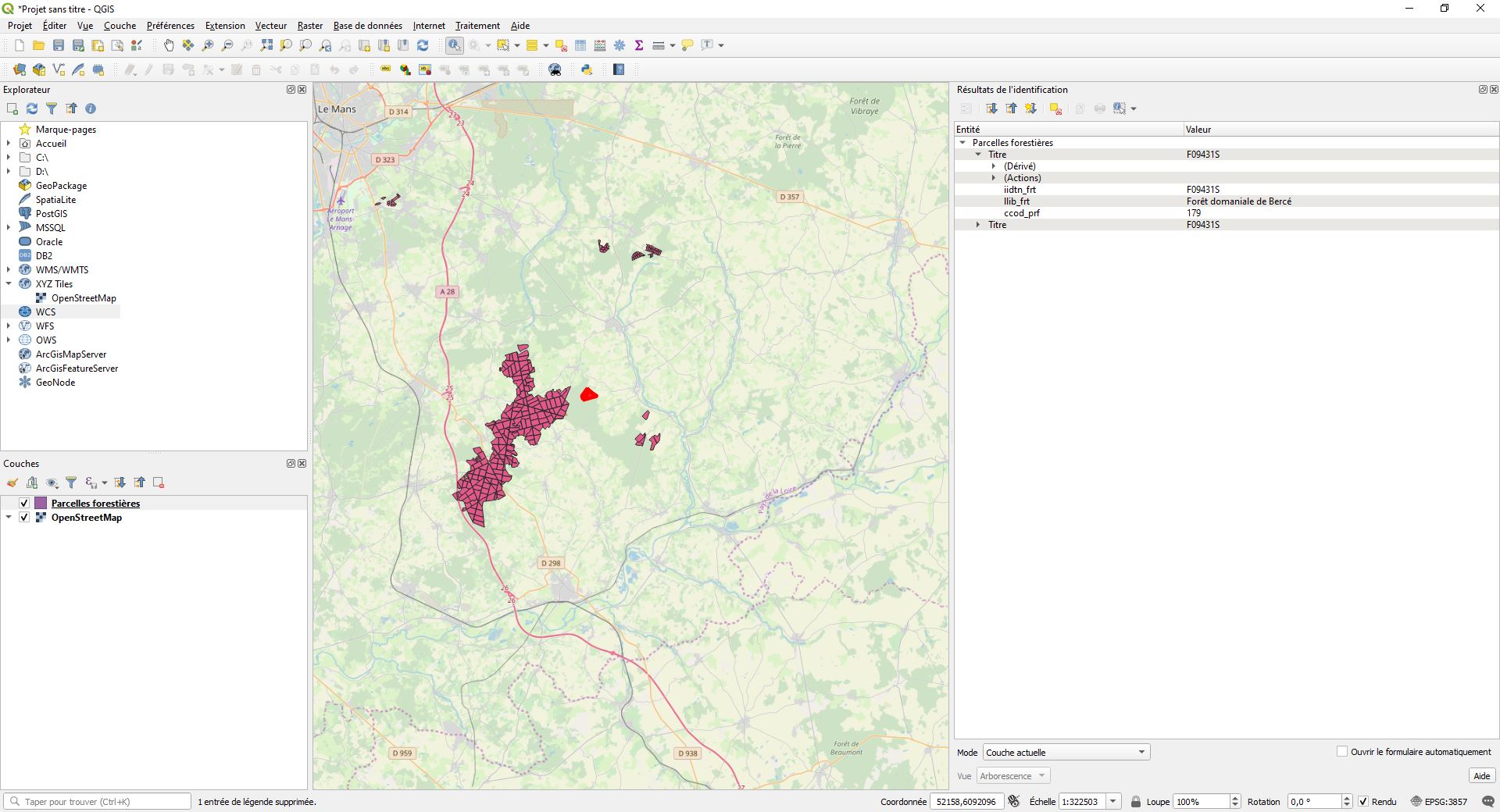
And I think that’s what QGIS did, you can see when a WFS layer added, it query all features and add it to map.
But we don’t think it need load features like that:
Web Feature Service (WFS) defines operations to manipulate information about geographic features (points, lines, and polygons). These operations allow to execute transactions (query, create, update or delete) on spatial data through the Web.
Regards,
Ethan