
Hi,
I have some(say 10) set of satellite raster images and their boundary points. i am able to overlay it on my World map. But my new requirement is I wanted to display all those 10 images continuely one by one with 500m.sec. like some animation effect.
Basically i have weather data in that satellite images, so i wanted to show a moving effect on top of World map.
I have tried with Timer concept, but it is not that much good in looking. its not properly updating and because of timer some other functionalities in my application effecting.
My sample here just to overlay single image
NativeImageRasterLayer rasterSatelliteLayer = new NativeImageRasterLayer(_sMapDataPath + @"\MapData\WxCharts\HSDGSAT" + sSatelliteDownloadImage, _proj.ConvertToExternalProjection(new RectangleShape(-179.999979224, 79.9899914532, 179.972976801, -50.0233908027)));
rasterSatelliteLayer.Transparency = 200;
LayerOverlay SatelliteOverlay = new LayerOverlay(“Satellite”, false, TileType.SingleTile);
SatelliteOverlay.Layers.Add(“SatelliteColorlayer”, rasterSatelliteLayer);
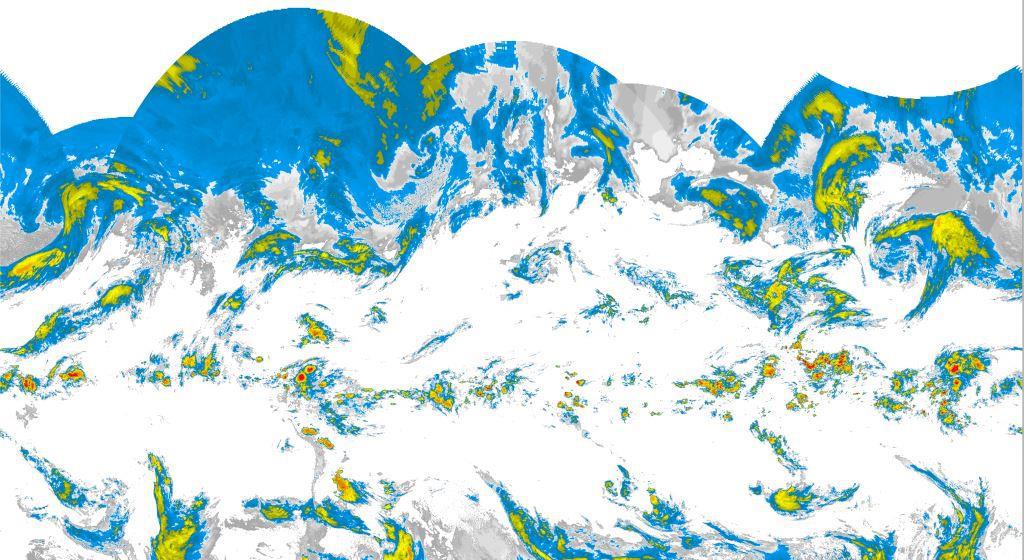
Following is one of my sample image
For your reference please check this link https://skyvector.com/ --> Select Layers --> Satellite IR4 and click play button in down
Is there any built in property/method to do this. Or please guide me how to do this.
Thanks,
Ashok