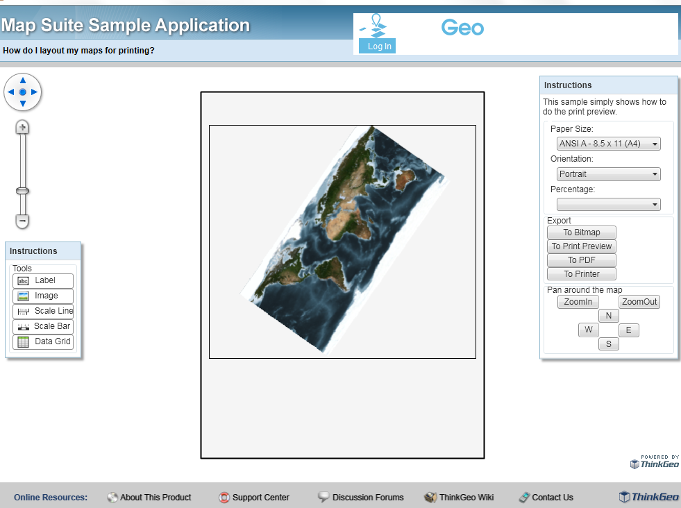
I’m trying to plot a map. The user should be able to rotate the to fit paper best way…
Therefore I’m using the code :
'Define a Rotation Projection
Public rotateProjection As New RotationProjection

'Load the MapLayer to be printed
'the Map will be build by a GeoTiffLayer with Projection (EPSG=25832)
MyMapLayer = LoadGeoTiffLayer("c:\Users\ht\Documents\gisme.tif", BaseSrid)
mapPrinterLayer.Layers.Add(MyMapLayer)

'When map is loaded the user will rotate the map
rotateProjection.Angle = rotation.Text
MyMapLayer.ImageSource.Projection = rotateProjection
winformsMap1.Refresh()
My question: The Map doesn’t rotate.
What’s wrong?
Do you have a snipet for rotating and printing a RasterLayer.
I have done several checks with the data: Using world.tif works well.
But using any other TIF File (with compression or not, size from 1.5MB to 400MB) will crash when setting the RotationProjection.
After setting the Rotation the map can’t be refreshed. MapSuite will crash in different exceptions. Most “the layer has no bounding box”.
It seems to me that there is a bug in MapSuite handling Raster with Rotation.