Hello there,
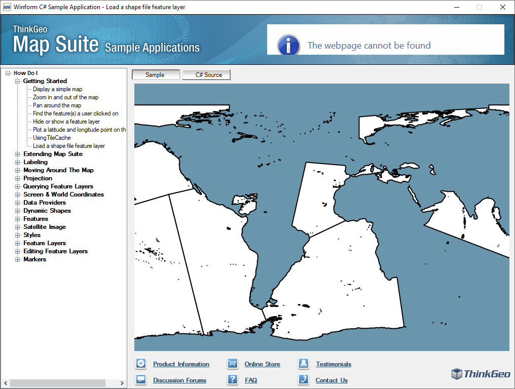
I am using the ThinkGeo Map v 9.0.and I am faced with difficulties displaying .shp files on control.
When I try to load a shape file, the map is white, and nothing is display.
RPMap.MapUnit = GeographyUnit.DecimalDegree;
RPMap.CurrentExtent = new RectangleShape(-155.733, 95.60, 104.42, -81.9);
LayerOverlay worldOverlay = new LayerOverlay();
worldOverlay.Layers.Add(new BackgroundLayer(new GeoSolidBrush(GeoColor.GeographicColors.ShallowOcean)));
ShapeFileFeatureLayer placeCityLayer =
new ShapeFileFeatureLayer(@"…\WorldStreet_3rdPartyData\Place\City\ms_place_city.shp");
placeCityLayer.ZoomLevelSet.ZoomLevel01.DefaultLineStyle = LineStyles.CreateSimpleLineStyle(GeoColor.StandardColors.Gray, 1, true);
placeCityLayer.ZoomLevelSet.ZoomLevel01.DefaultPointStyle = new PointStyle(PointSymbolType.Circle, GeoBrushes.White, new GeoPen(GeoColors.Black, 2), 7);
placeCityLayer.ZoomLevelSet.ZoomLevel01.DefaultAreaStyle = new AreaStyle(new GeoPen(GeoColors.Black, 2), GeoBrushes.White);
placeCityLayer.ZoomLevelSet.ZoomLevel01.ApplyUntilZoomLevel = ApplyUntilZoomLevel.Level20;
worldOverlay.Layers.Add(“PlaceCity”, placeCityLayer);
RPMap.Overlays.Add(“WMK”, worldOverlay);
RPMap.Refresh();
What can be the problem?
Sincerely,
Aleksandr
Bathymetry.zip (2.3 MB)