I have been working on color coding the ma streets using diferrent colors, i downloaded a sample project from the following link 184.73.226.83/wiki/File:Serv...100120.zip , in this shape file you use the column name CFCC from the dbf to establish local roads from highways can you show me where is the corresponding column in my shape file dbf here I sent you a rar file on your support email hope you can help me
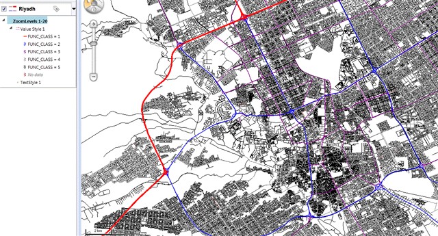
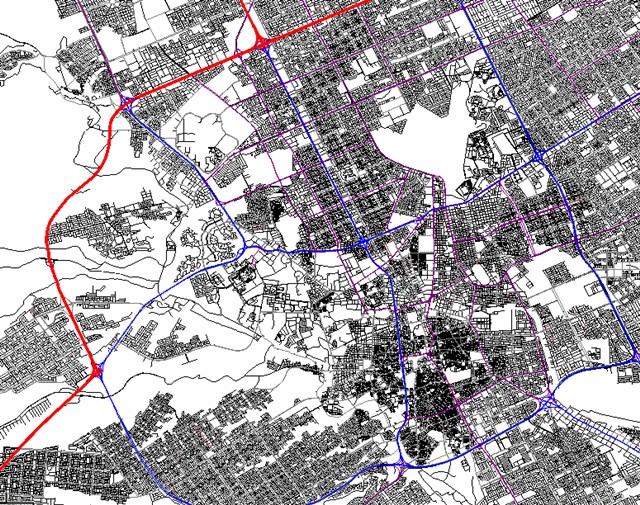
I will look at your shapefile dbf in the support email. But before doing that, I am wondering if you are using the same Riyadh shapefile as in your other posts. If this is the case, I think that the relevent column for the street types is "FUNC_CLASS". As you can see in the screen shot below, I don't know your data but this is what it seems to me.
Its working fine thank you very much but just one question on another matter i’ve been reading on your geocoder and i believe it has soundex doe it support arabic soundex?
Now I need to look at the Geocoder product and see if we expose the Soundex and how easy it would be to override it for a language other than English. Let me invistigate that and I will get back to you.
I discussed your case with a member of the Development Team about what you are trying to do with the Geocoder. You have to understand that the Geocoder was designed for geocoding US streets and although it is possible to extend it for other countries, it would require work beyond what is provided with regular Support. To have geocoding working with Riyadh data and have the Soundex adapted for Arabic, this would have to be considered Professional Services. I believe that Moritz Wolffer is your salesman. Please, contact him at moritzwolffer@thinkgeo.com for a quote on this customization work for the Geocoder. He will be very happy to guide you on that. Thank you for your interest in ThinkGeo.
I did the indexing for the streets but now im facing a problem, in which i dont have 1 layer to start the street intersection can i color the streets without havingto make them into different layers on the map and keep them as one layer so i can do the street search on it?
I am not sure I totally understand what you are asking. I think that what you want is to display streets with the styles based on collumn value. We have the ValueStyle for that. Yoou can see example on how to use that in the sample "Draw features based on values" in the Styles category of the "How Do I" samples. For example, for Riyadh street shapefile, you can use the "FUNC_CLASS" column and use a different style for each value. See screen shot below.