ThinkGeo.com    |     Documentation    |     Premium Support

ThinkGeo Cloud aerial image quality ouside of USA

Hi,

I’ve seen that the ThinkGeo Cloud aerial image quality is very good in USA, but elsewhere in the world the aerial images are not accurate at low zooming levels. Here are two screenshots taken at same zooming level from USA and Europe for comparison:


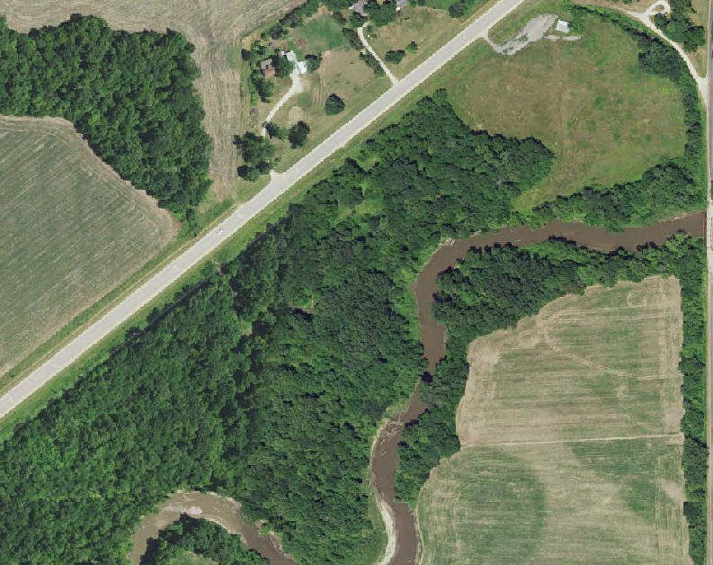
Are there any plans to provide more accurate aerial imagery from other world regions? Those would be really useful, but these existing aerial images are not usable to us outside of USA.

Thanks, Rasmus

Hey @Rasmus_Rahunen,

We are always open to adding more accurate imagery to our Cloud’s raster maps. The problem that we face is finding readily available imagery in a palatable data format, which can vary widely between country to country. Which countries were you interested in? Our Cloud team does not have a lot of bandwidth at the moment, but we can document which areas we might target first.

Thanks,
Kyle

Hi Kyle,

The most important now would be:

  • Finland
  • Sweden
  • Germany
  • Russia
  • Also South American countries

This is the current list of customer locations:

  • USA
  • Uruguay
  • Canada
  • Brazil
  • Argentina
  • Chile
  • France
  • United Kingdom
  • Ireland
  • Portugal
  • Hungary
  • Czech Republic
  • Poland
  • Spain
  • Germany
  • Austria
  • Romania
  • Slovakia
  • Slovenia
  • Croatia
  • Serbia
  • Bulgaria
  • Italy
  • Finland
  • Sweden
  • Norway
  • Estonia
  • Latvia
  • Lithuania
  • China
  • Russia
  • Belarus
  • South Africa
  • Japan
  • Australia

Thanks, Rasmus

Hey @Rasmus_Rahunen,

Thank you for the list, I’ve sent it off to our Cloud Maps team. Be on the lookout for future updates on the product.

Thanks,
Kyle

1 Like

Hi,

I’d like to know if there is any update on the cloud maps. Do you have some kind of roadmap for updating the cloud maps and getting more accurate maps outside of USA?

The above list is still our priority, but Finland and Sweden would be the most important for us.

BR, Rasmus

We update the US data as it becomes available from our sources, which is usually every other year. The rest of the world is sourced as we are able to find high quality free data. If you have suggestions on sources for countries we are open to integrating them. At the moment due to the pandemic, we are short staffed and this, unfortunately, is not a high priority. If we could find the data in Spherical Mercator we might be able to quickly drop it in.

Hi David,

Ok, understood. I’m afraid I don’t know any free sources for high-quality aerial imagery.

BR, Rasmus

Hey @Rasmus_Rahunen,

Ok, we will keep an eye out for something in the future. We have a backlogged task in our system that lists out your priorities of countries to add. When we have the bandwidth to research and add and free satellite imagery to our Cloud Maps, we will.

Thanks,
Kyle