ThinkGeo.com    |     Documentation    |     Premium Support

When drawing enlarged raster images, tile boundaries discontinued

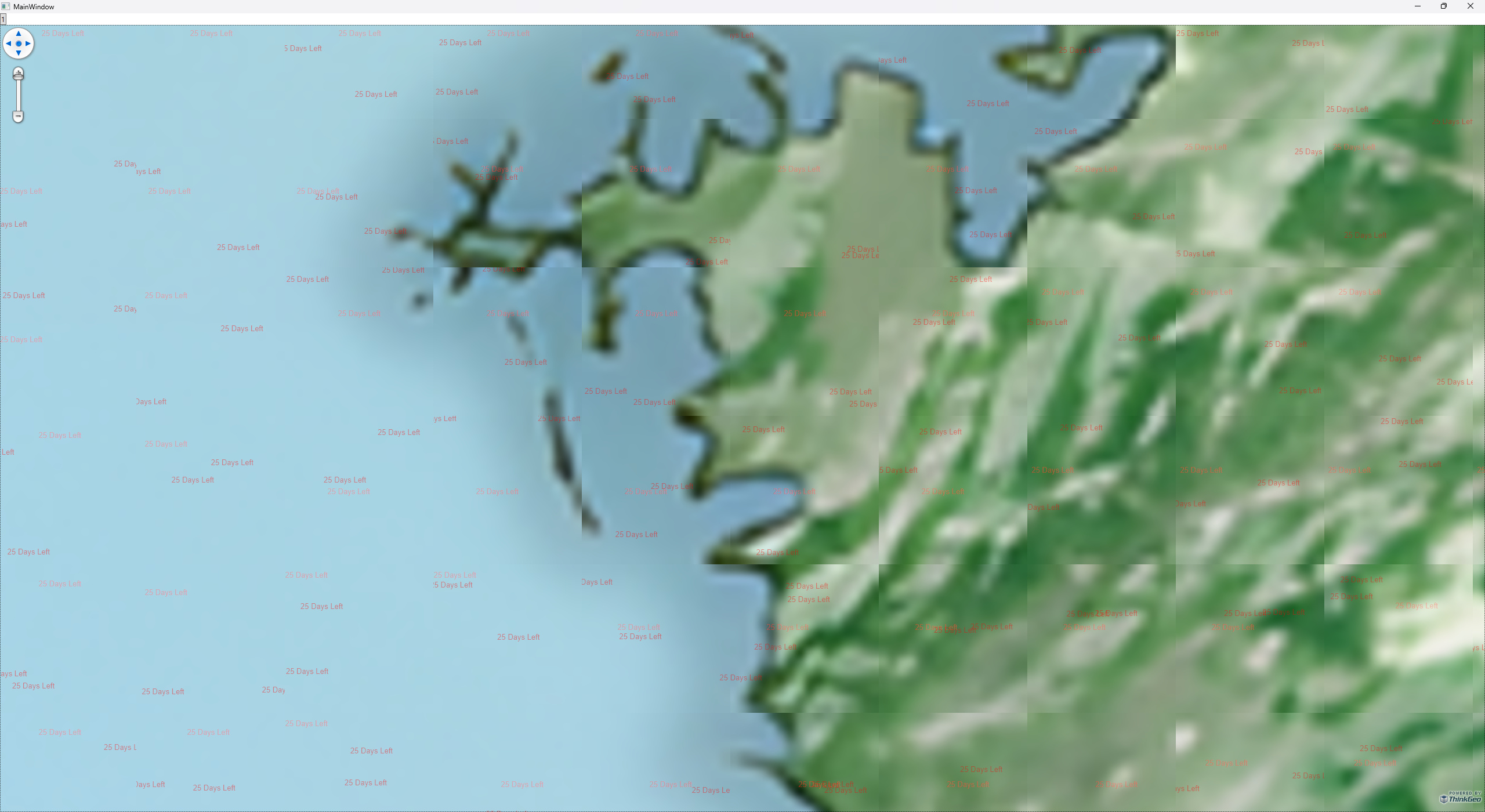
We are currently conducting several tests to integrate ThinkGeo WPF product into our project. We have encountered some issues in using the NativeImageRasterLayer and custom Layer classes. The current problem arises when drawing small images at an enlarged scale through zoom. As depicted in the attached image, when enlarging and drawing a raster image, the boundaries of the tiles do not smoothly connect.

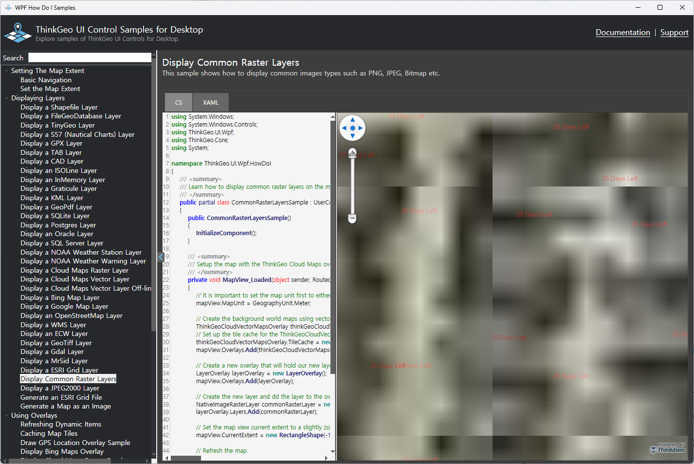
(from the HowDoI project)

(from my test project using NativeImageRasterLayer)

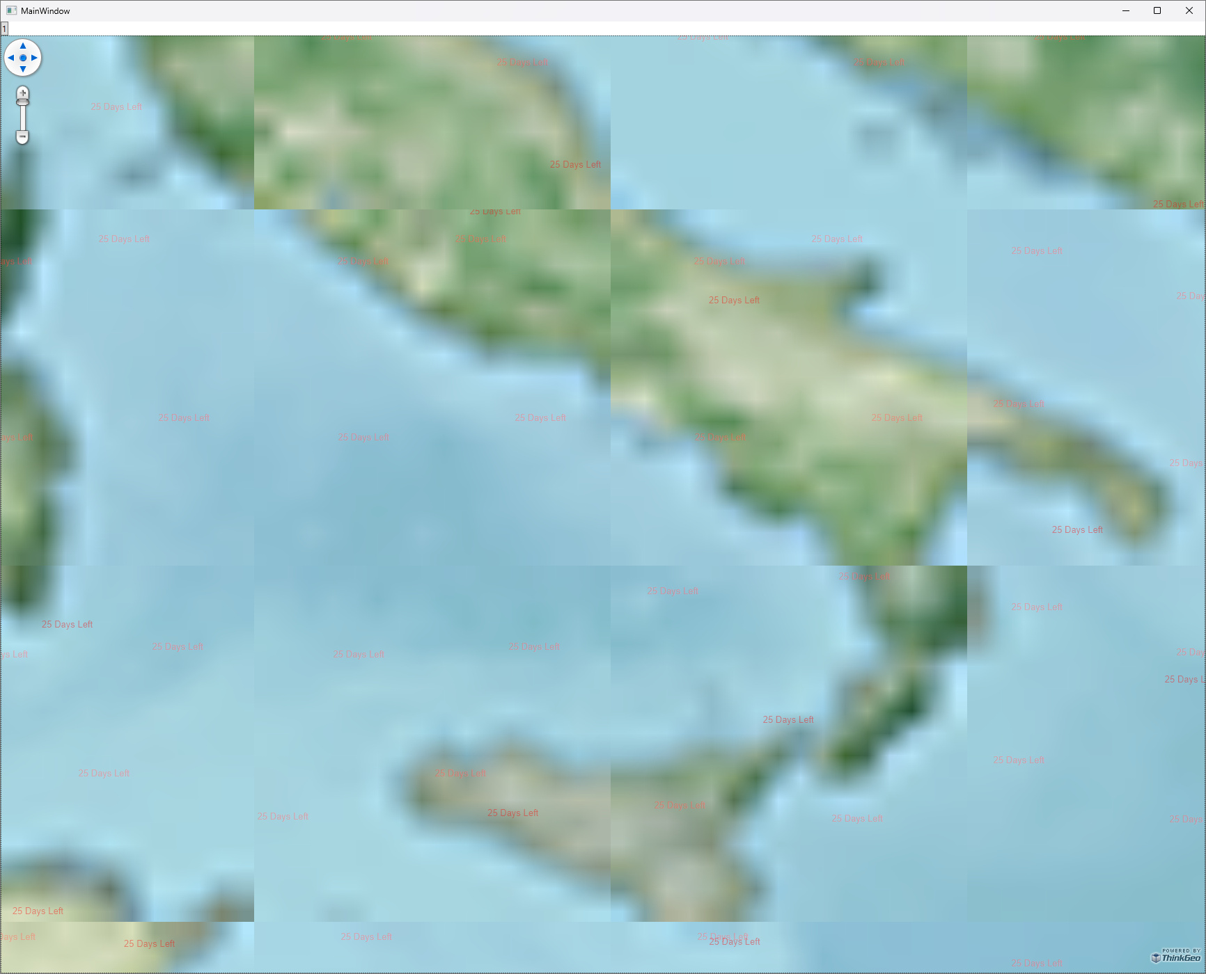
The same issue persists when using GeoCanvas.DrawWorldImage in the DrawCore of the custom Layer class; the boundaries between images drawn at an increased scale are not smooth. Could you please help me identify if I am using something incorrectly?

(from my test project using DrawWorldImage in DrawCore method)

Hi @Youngjae_Song,

Thanks for bringing this to out attention. This issue occurs on raster images at high zoomlevel when the resolution is limited. In the short-term, we recommend you set the overlay to Single Tile mode and the issue will be resolved:

myRasterOverlay.TileType = TileType.SingleTile;

But, looking at your screenshots it seems like something else may be going on. Are you using a custom ZoomLevel. The screenshot shows Italy and Sicily but the zoom bar in the upper left shows the image zoomed in all the way.

If you can send us your code, we may be able to help you improve this in the short-term, and in the long-term this is on our list of issues to address in the next release. But the SingleTile mode will fix the issue if you don’t need multi-tile for caching.

Thanks,
John