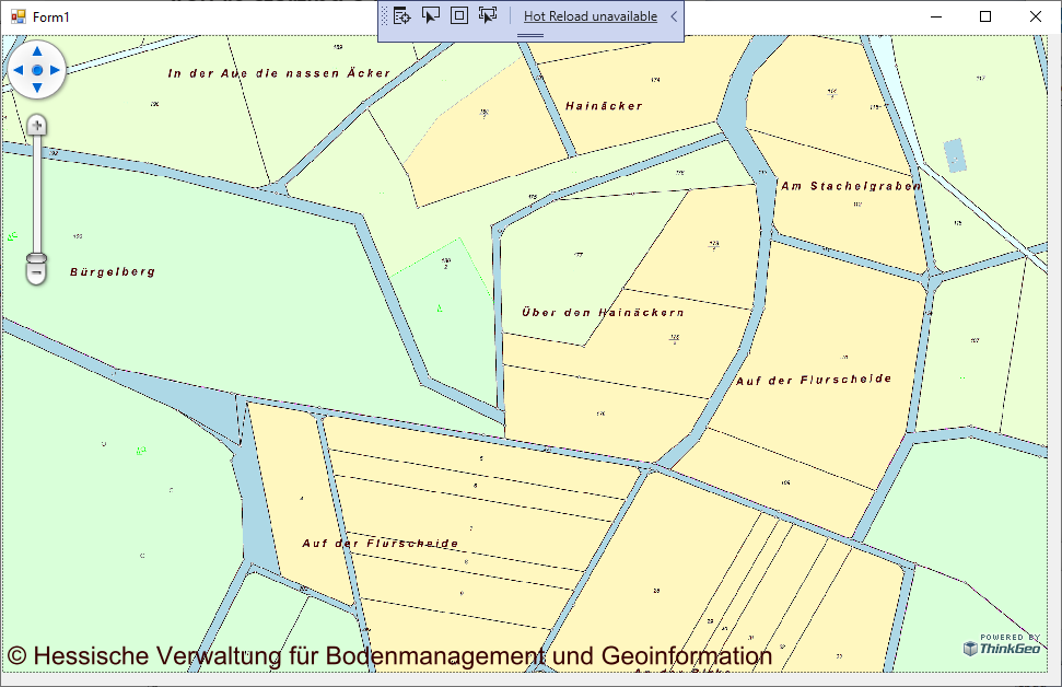
Hi,
we could not load WMS
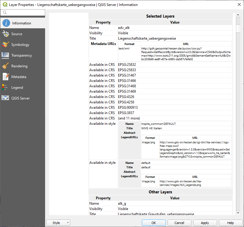
http://www.gds-srv.hessen.de/cgi-bin/lika-services///ogc-free-maps.ows?language=ger&
format=image/png
active layer=adv_alk
epsg=25832
My code for loading in V10 looks like:
Public Function LoadWmsRasterLayer(uri As Uri, epsg As Integer) As WmsRasterLayer
        Try
            Dim wmsLayer As WmsRasterLayer = New WmsRasterLayer(uri)
            With wmsLayer

                .ActiveLayerNames.Add("adv_alk")

                .Parameters.Add("transparent", "true")
                .Crs = String.Format("EPSG:{0}", epsg)
                .OutputFormat = "image/png"

                .Exceptions = "INIMAGE"

                .ImageSource.ProjectionConverter = GetProjection4(epsg)
                .Open()

            End With
            Return wmsLayer
        Catch ex As Exception
            c_lastError = String.Format("Fehler beim Laden des Layer {0}. {1}", uri, ex.Message)
            Return Nothing
        End Try
    End Function
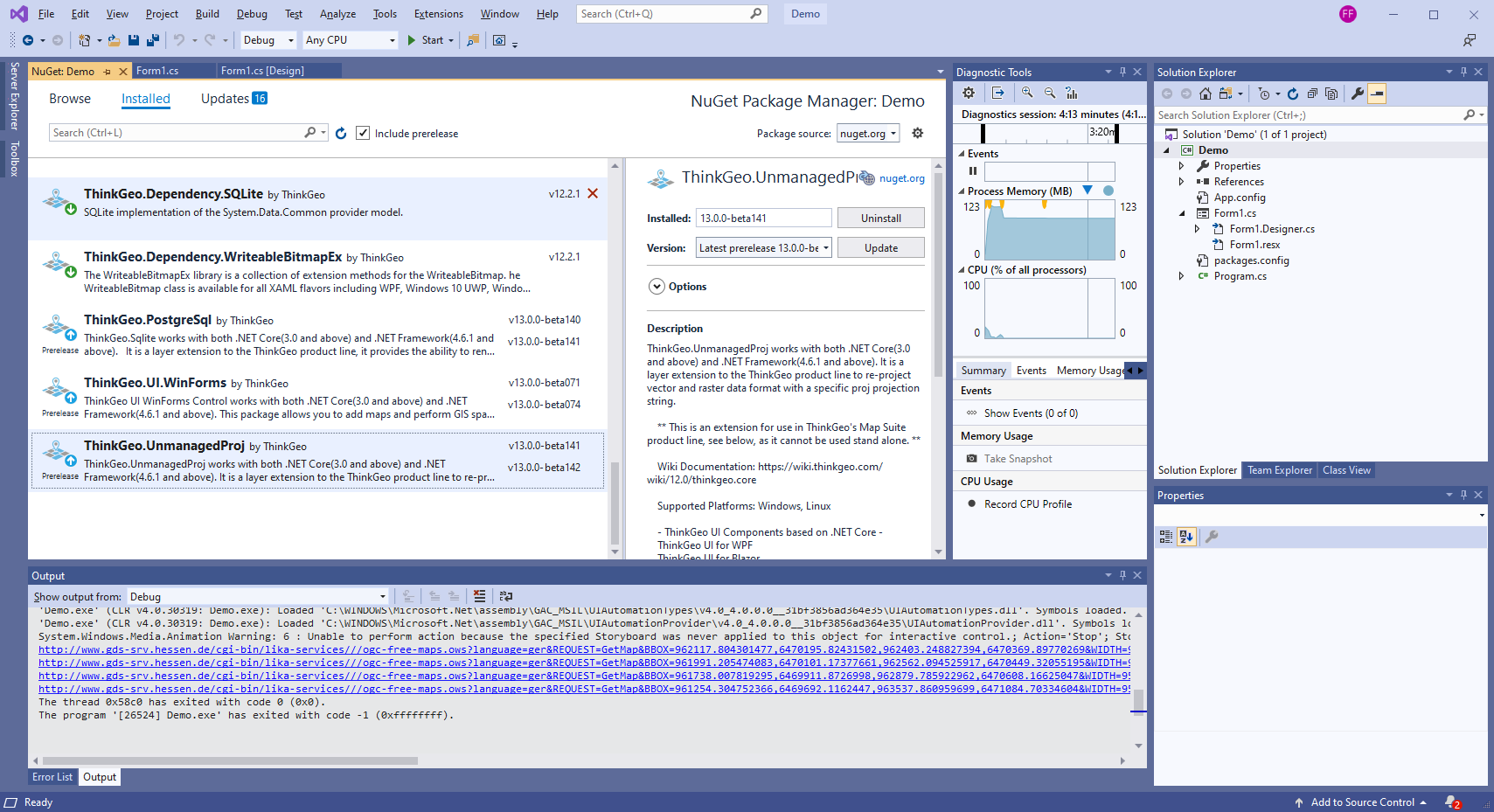
In V12 nothing is displayed.
Need help!
Regards
Hardy