
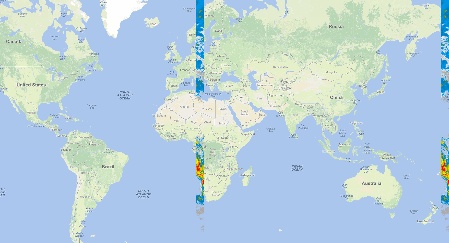
hi @Ethan, I’m facing a big issue with "ThinkgeoCloudmap layer " and " NativeImageRasterLayer ". When both is plotted together on map , "NativeImageRasterLayer " rendering the image wrongly also wrapping is getting distorted .
Can You Check ? If possible prepare sample .
Thanks. 
Wrapping With NativeImageRasterLayer With Thinkgeo Cloud Map
Hi Bibek,
The ThinkGeoCloudMap layer only support Meter, please confirm your NativeImageRasterLayer is meter projection, if not, please use projection for your NativeImageRasterLayer.
We did some testing with shapfile, it works fine. If you still meet issue, please let us know that, we will provide one simple for you.
Thanks
Mark
@Mark_Lee I’m using a PNG file with custom bound to plot on the map using NativeImageRasterLayer.
I’m using 3857 Projection. Please provide a sample using a PNG image.
Thanks
Hi Bibek,
I think you should hadn’t set bouding box for your png image.
Here is a sample, I hadn’t found a meter based png image so I just put a Decimal Degree based gif image, and you can see it still render well don’t like your code shows.
9455.zip (105.3 KB)
Could you please view it and let us know whether you have further question about it.
Regards,
Ethan
I have to use bounding box because it’s satellite image so all the areas should cover properly.
Below I have given all the details about the image(link) mentioned above . Can u able plot the image and give me a sample?
Thanks
new RectangleShape(-179.999979224, 79.9899914532, 179.972976801, -50.0233908027)
Upper Left (-20037506.030,15532298.159) (179d59’59.93"W, 79d59’23.97"N)
Lower Left (-20037506.030,-6450326.973) (179d59’59.93"W, 50d 1’24.19"S)
Upper Right (20037105.612,15532298.159) (179d59’46.98"E, 79d59’23.97"N)
Lower Right (20037105.612,-6450326.973) (179d59’46.98"E, 50d 1’24.19"S)
Center ( -200.209, 4540985.593) ( 0d 0’ 6.47"W, 37d43’38.58"N)
Hi Bibek,
Please upgrade this package when it’s available: https://www.nuget.org/packages/ThinkGeo.MapSuite/11.0.0-beta091
Our sample also hadn’t upgrade to this version, so I need to let you know it.
temp.zip.003.zip (992.9 KB)
temp.zip.002.zip (1.8 MB)
temp.zip.001.zip (1.8 MB)
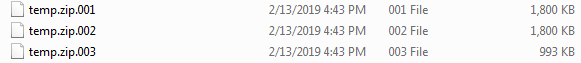
Please rename them to remove the latest .zip(forum limitation) and unzip it again.
should be rename to
Your data should works with the latest version.
Regards,
Ethan