Hi,
We have a number of Geo Tiff files that we cannot view in our WinFormsMap. We receive the following error when the layer draws:
System.NullReferenceException
HResult=0x80004003
Message=Object reference not set to an instance of an object.
Source=ThinkGeo.MapSuite.Layers.GeoTiff
StackTrace:
at ThinkGeo.MapSuite.Layers.GeoTiffRasterSource.ISs=(RectangleShape imageFullExtentInWorld, RectangleShape drawnImagePieceExtentInWorld, Int32 drawnImagePieceWidth, Int32 drawnImagePieceHeight, Double currentScale)
at ThinkGeo.MapSuite.Layers.GeoTiffRasterSource.GetImageCore(RectangleShape worldExtent, Int32 canvasWidth, Int32 canvasHeight)
at ThinkGeo.MapSuite.Layers.RasterSource.GetImage(RectangleShape worldExtent, Int32 canvasWidth, Int32 canvasHeight)
at ThinkGeo.MapSuite.Layers.RasterLayer.DrawCore(GeoCanvas canvas, Collection1 labelsInAllLayers) at MapUtilities.CustomGeoTifLayer.DrawCore(GeoCanvas canvas, Collection1 labelsInAllLayers) in C:\Silvics\SilvicsAppDev\GeoFrame\MapUtilities\Classes\CustomGeoTifLayer.vb:line 65
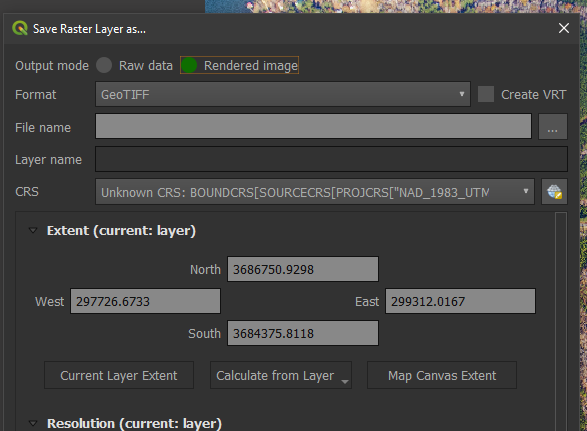
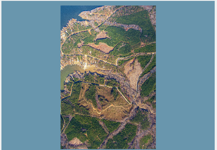
Here is a link to one of the Tiffs, can you please take a look and see what the problem is?
Thanks!
Steve